• Cart
  • My Account

Destination Tree

Handcrafted. Personalized. Inspired.

  • Shop
    • Beach Decor
    • Driftwood Signs
    • Driftwood Collages
    • Destination Trees
    • Personalized Gifts
  • About Us
  • Testimonials
  • FAQ’s
  • Contact Us
Home » national parks » Page 2

Our Route Across the Country – Part 12

June 11, 2016 by Kristin

Our year long road trip continues as we pack in as many national parks and natural wonders as we can across the USA! We left Santa Fe, NM and headed through Colorado for more spectacular sights throughout the Rocky Mountains on Part 12 of our cross country route. Our route summary and map are below!

If you’ve missed any earlier segments catch up with links to our routes and travel highlights here:

  • Part 1 looped us from Ohio to Maine and back to Ohio.
  • Part 2 carried us across the country from Ohio to Montana and to our adventures in and around Glacier National Park.
  • Part 3 circled the Olympic Peninsula in and around Olympic National Park.
  • Part 4 took us to Crater Lake National Park in Oregon and Redwood National and State Parks in California
    • We also included our extended stay on the Oregon Coast over the holidays in Part 4, as we filled holiday orders for Destination Tree
  • Part 5 traversed us through California including Napa Valley, Yosemite, King’s Canyon and Sequoia National Parks
  • Part 6 brought us through the Southwest as we explored Joshua Tree National Park, Sedona, The Apache Trail outside of Phoenix, Tombstone and Bisbee.
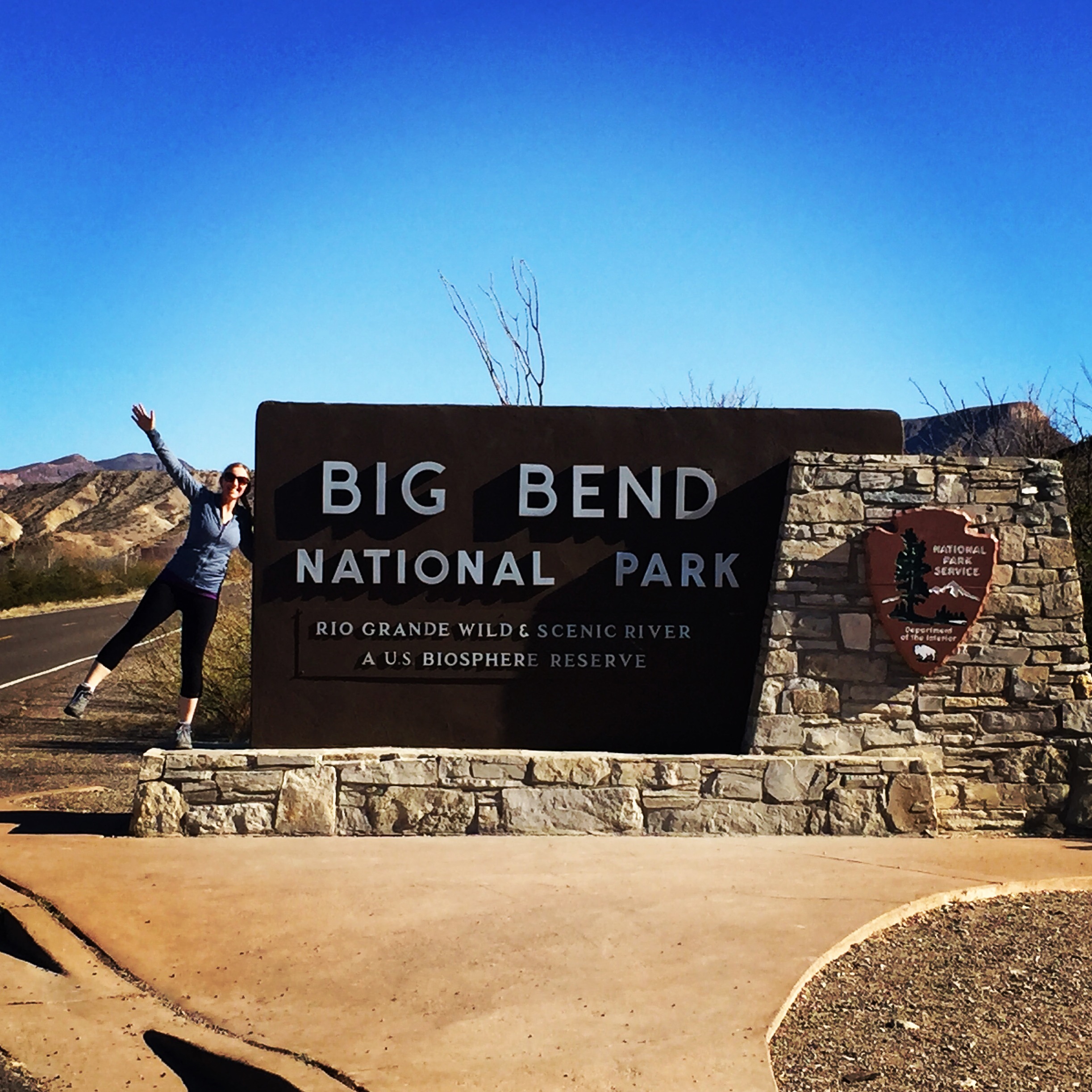
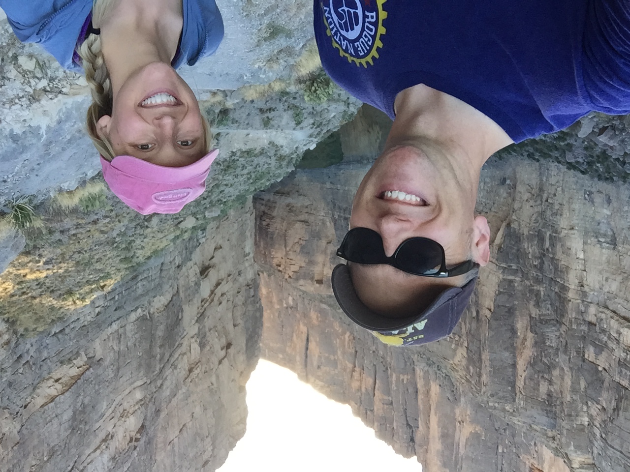
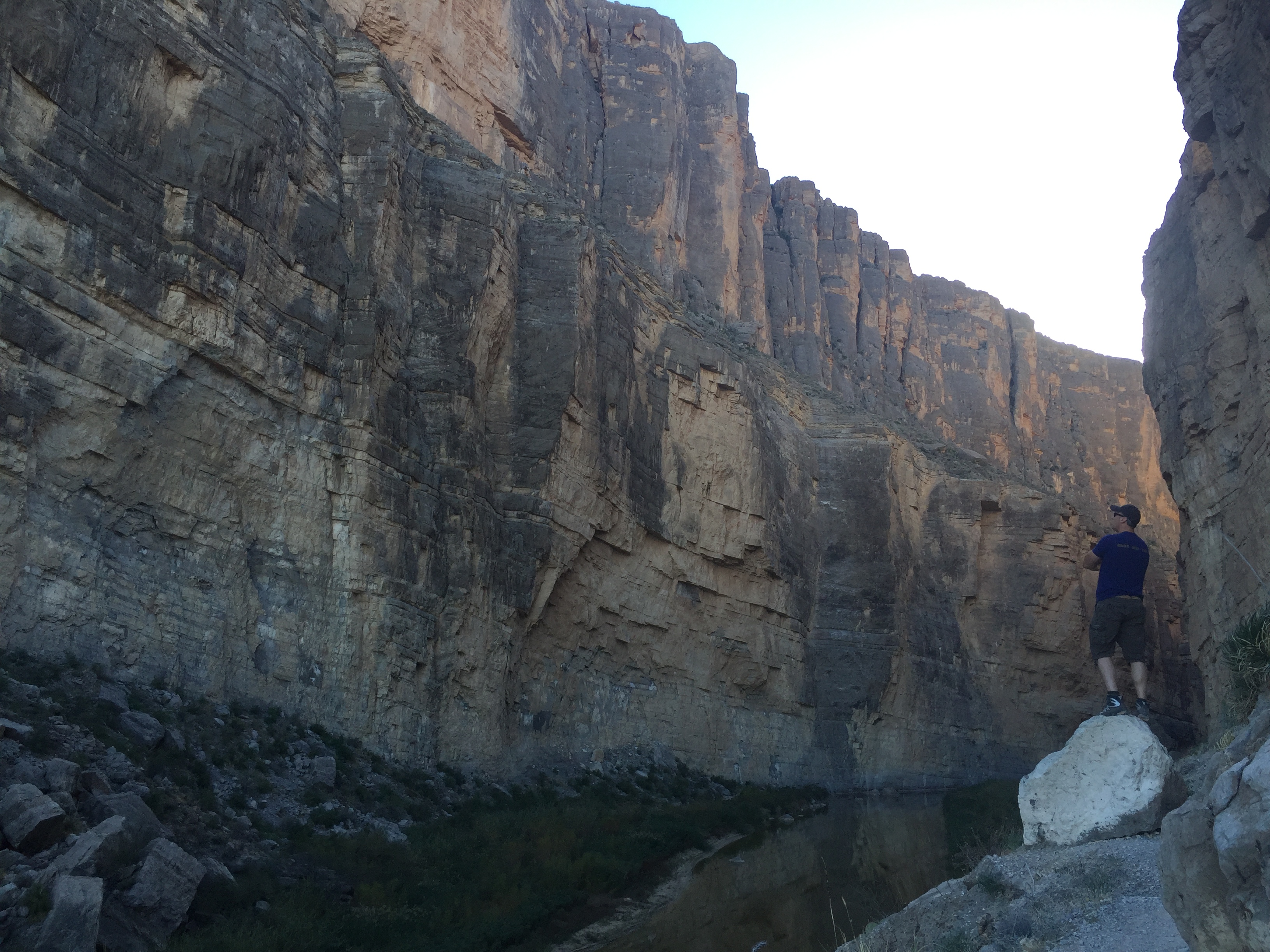
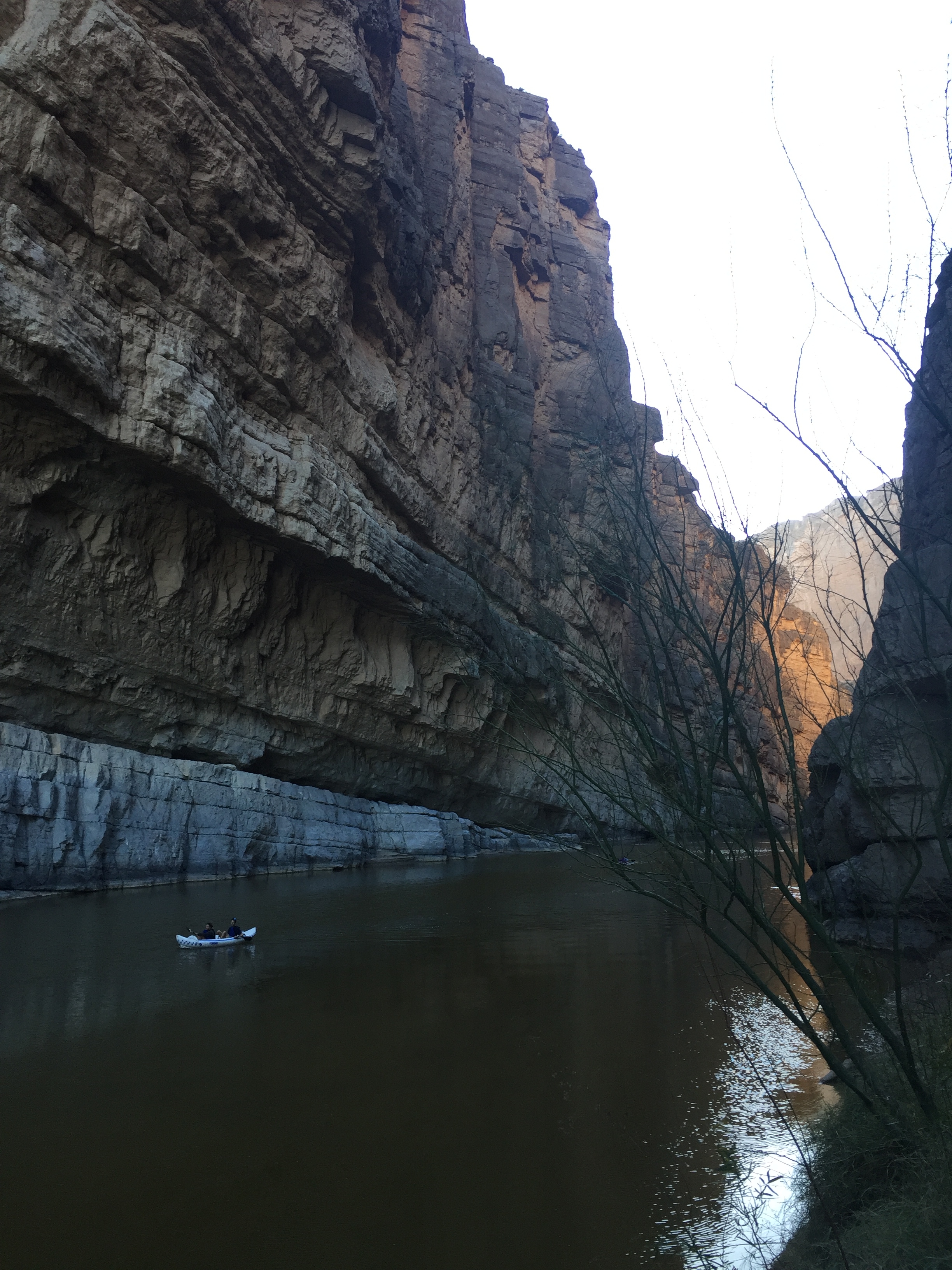
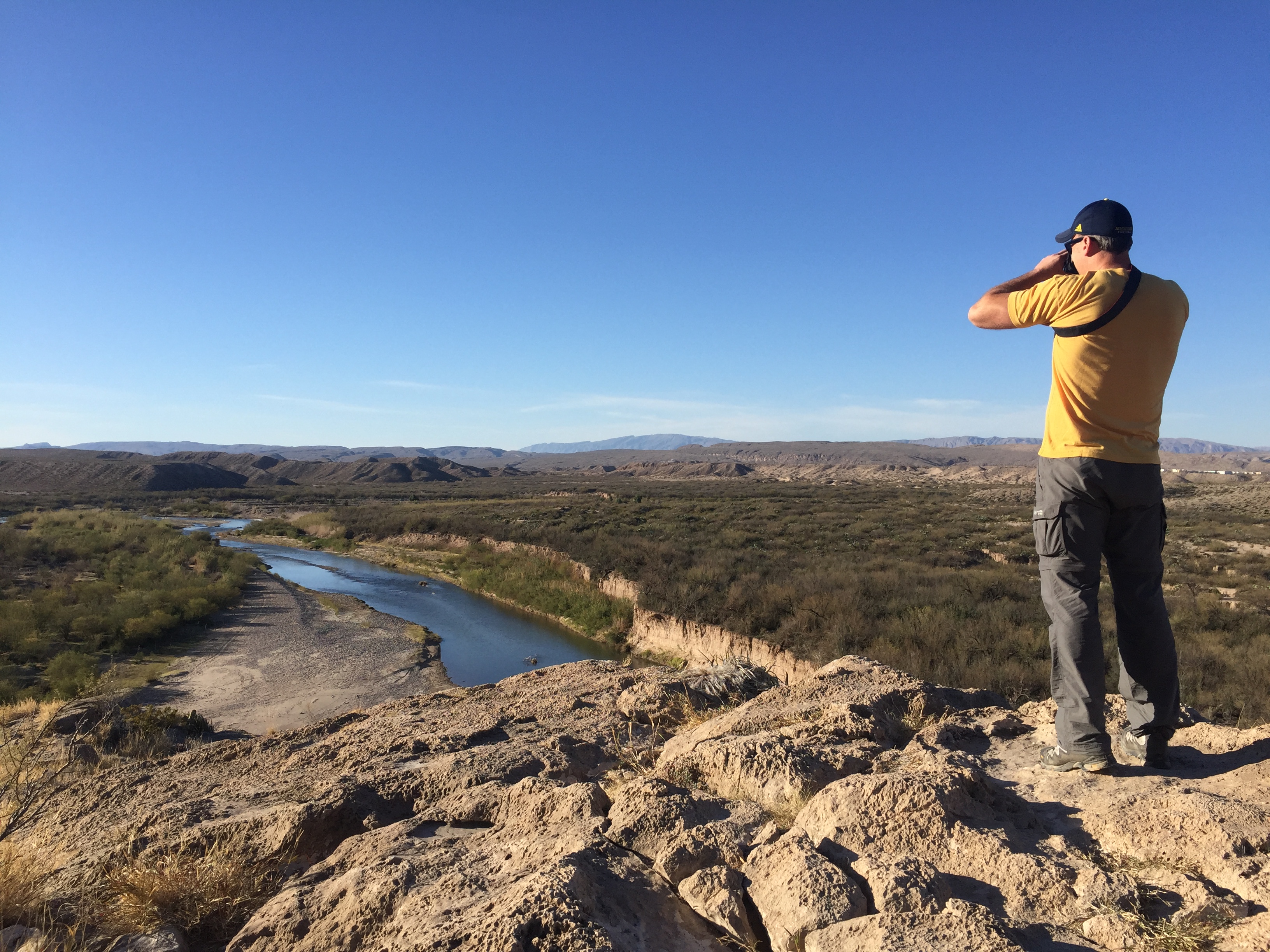
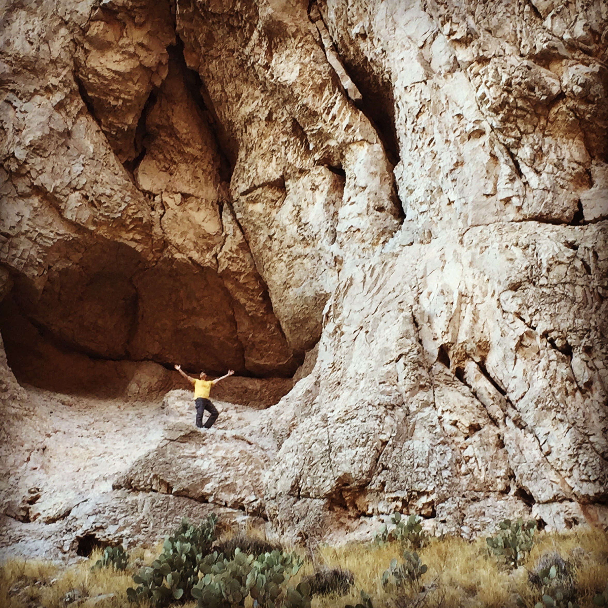
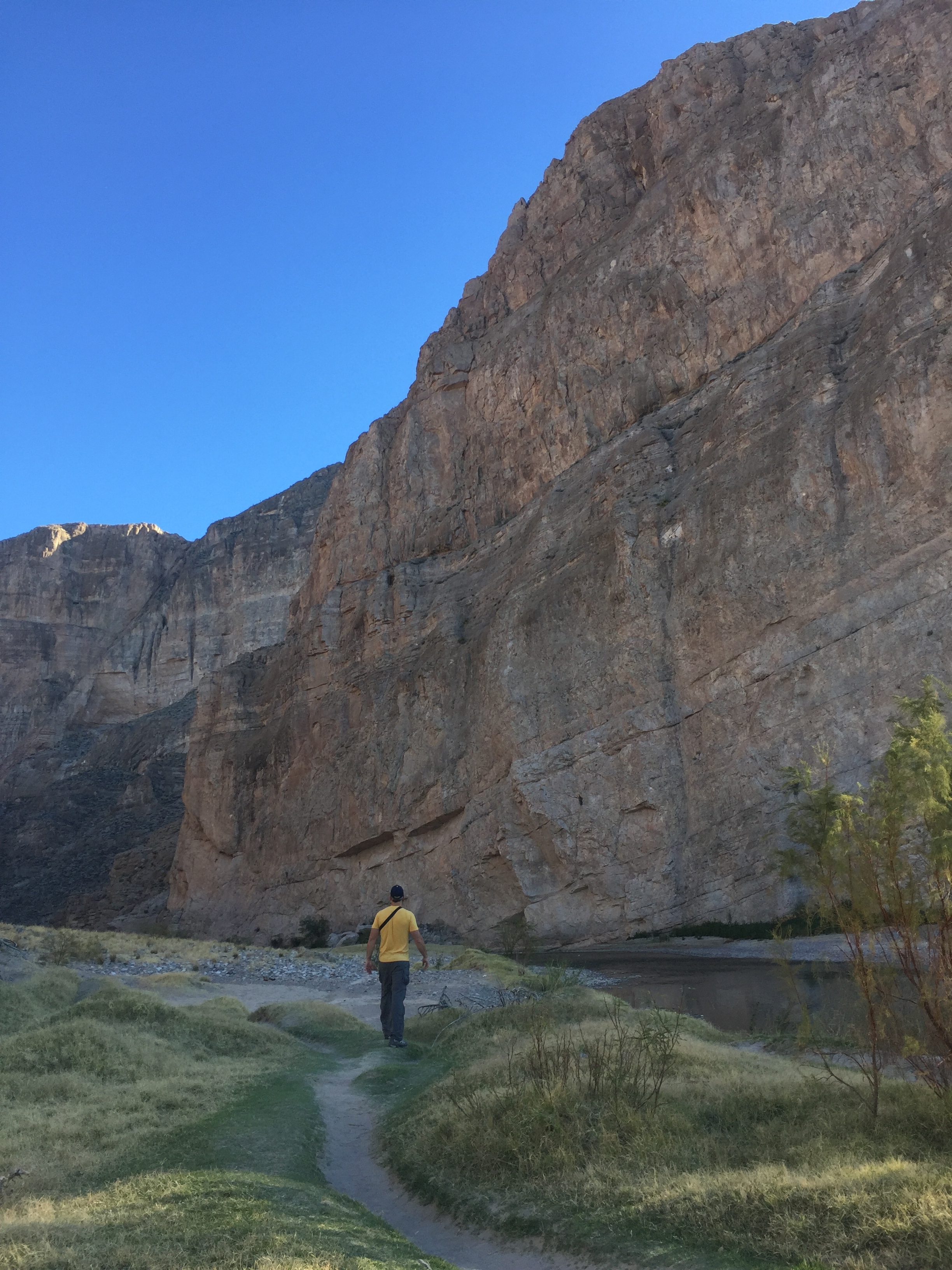
  • Part 7 introduced us to the enormous size and beauty of Texas…from Big Bend National Park to San Antonio, Austin and the Gulf Coast.
  • Part 8 swung us through Sweet Home Aaaalabaaaama…
  • Part 9 reconnected us with family and friends in Florida including Fort Lauderdale, Everglades National Park, Sanibel Island and St. Augustine.
  • Part 10 backtracked us through the south with stops at Louisiana’s old plantations, New Orleans, and MORE fun in San Antonio with good friends.
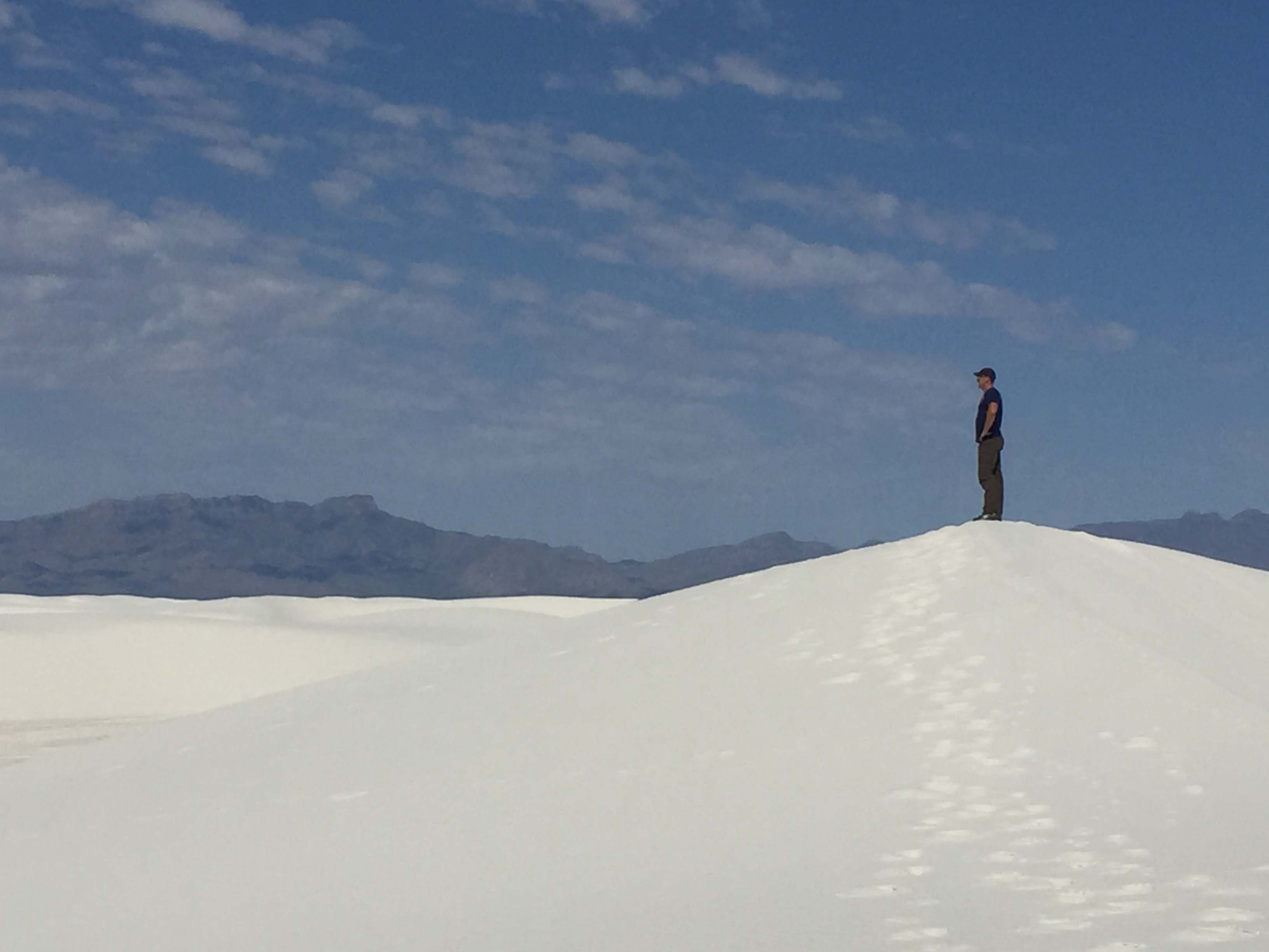
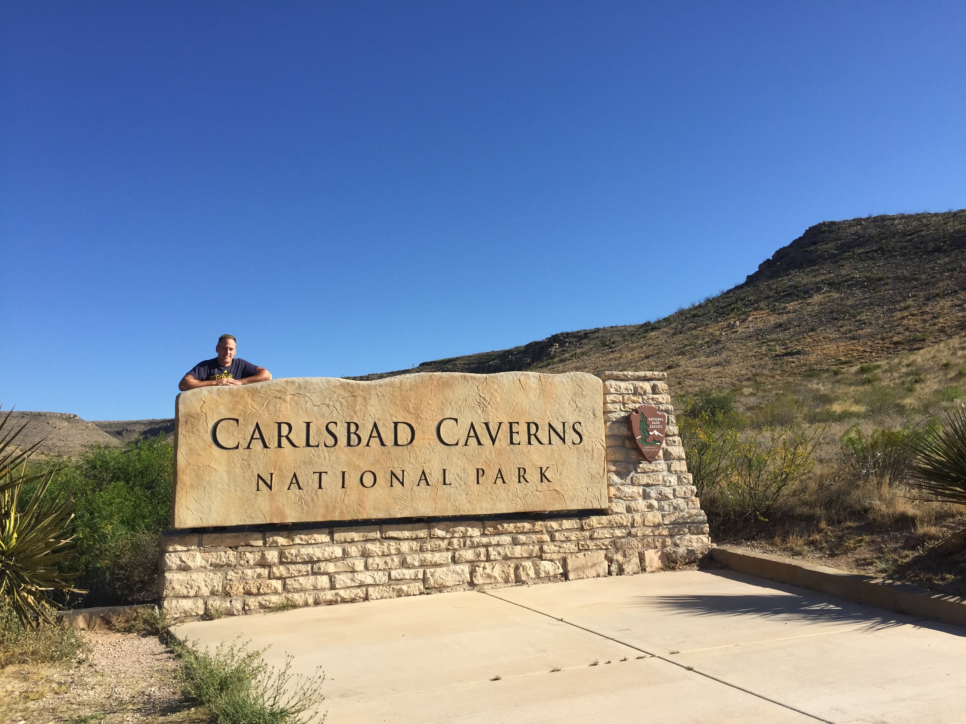
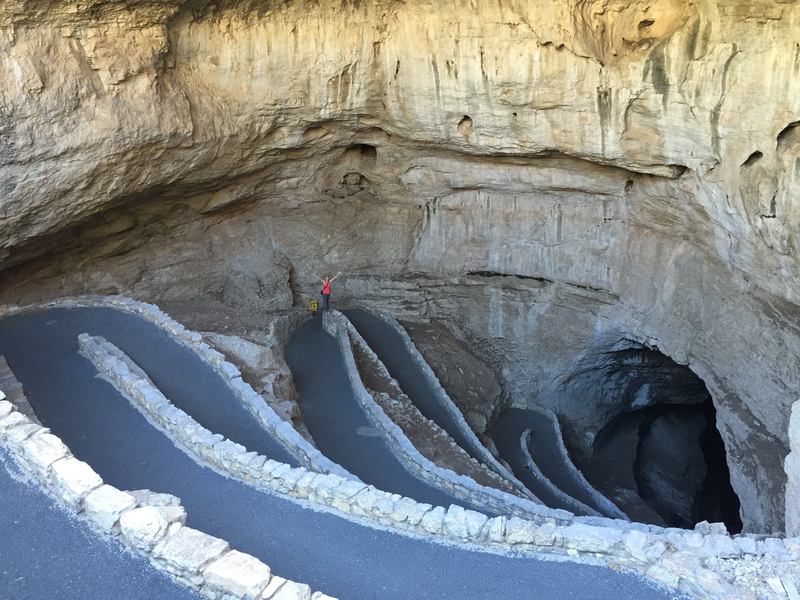
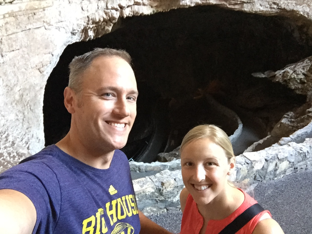
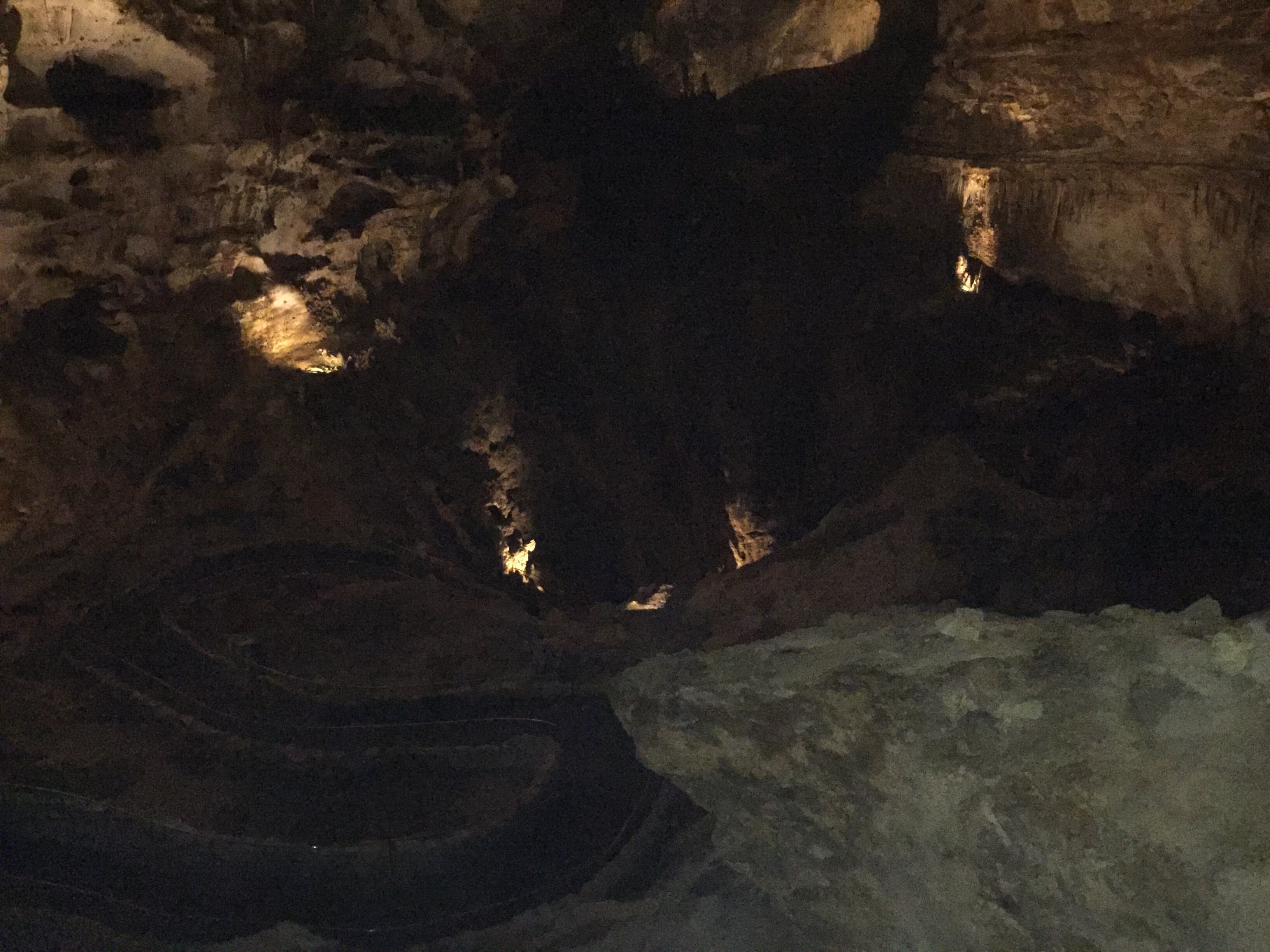
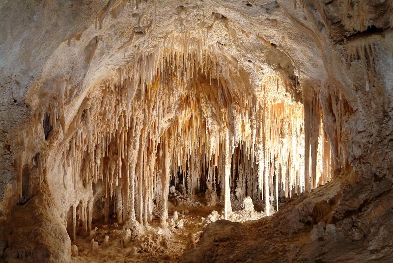
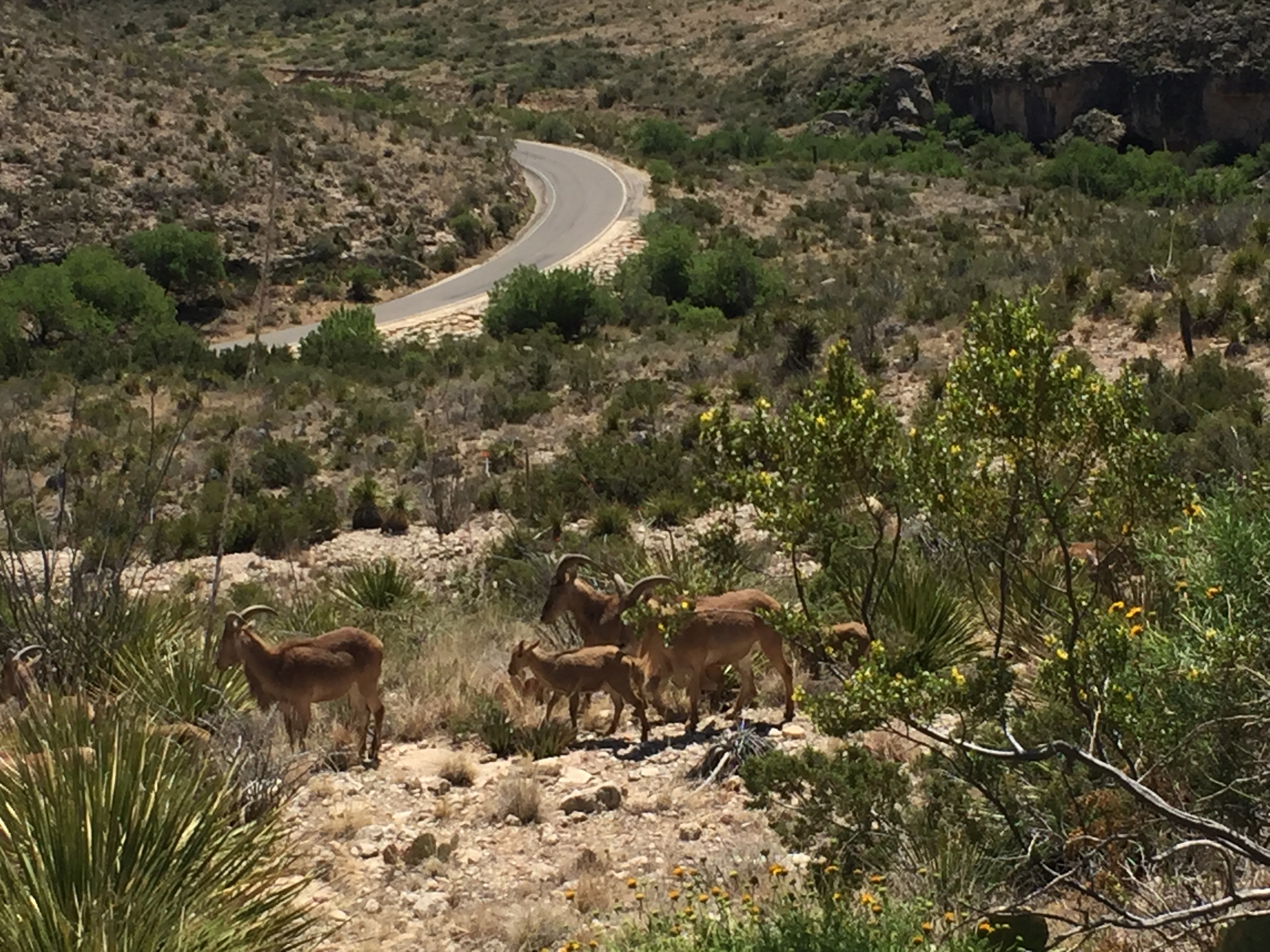
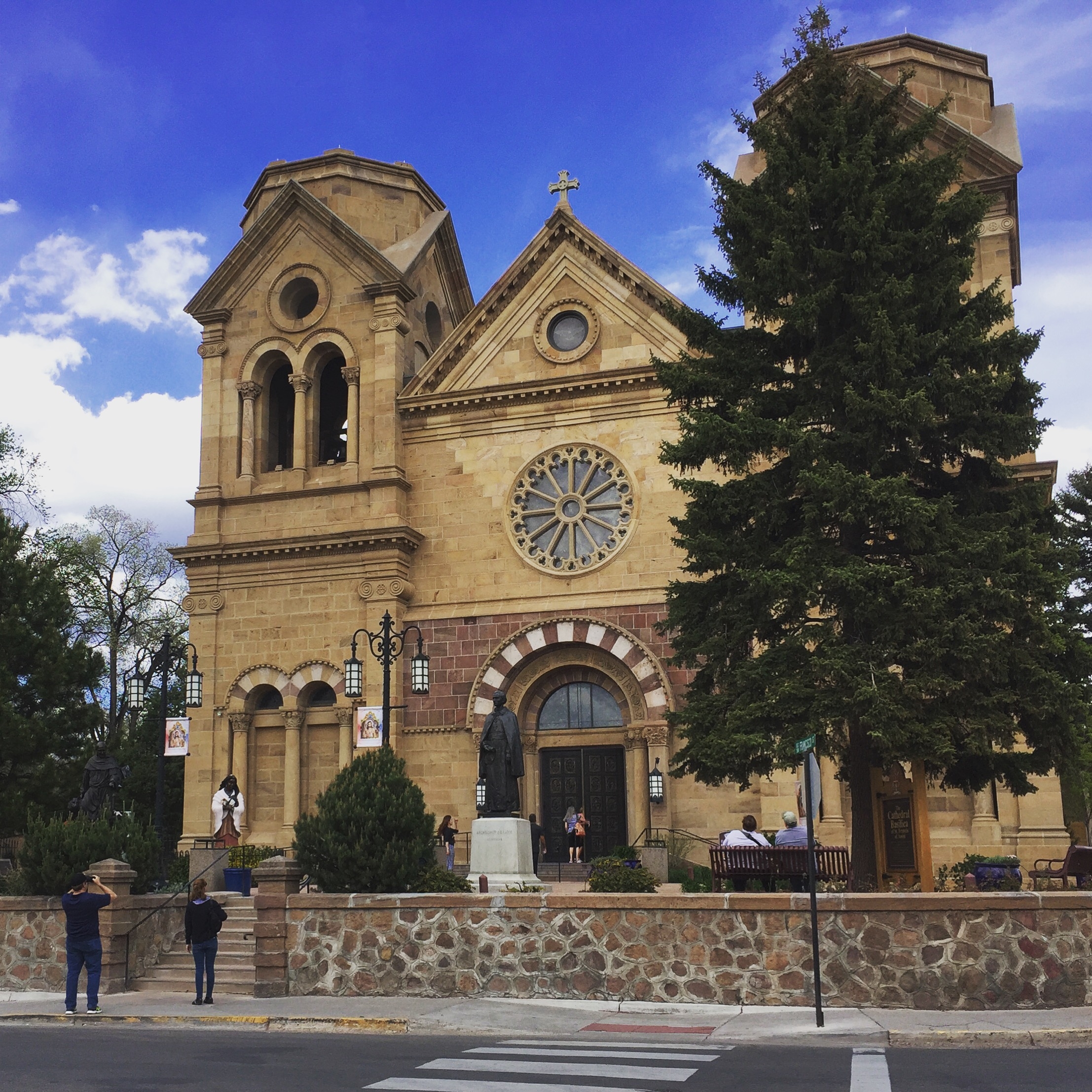
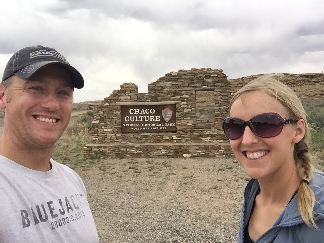
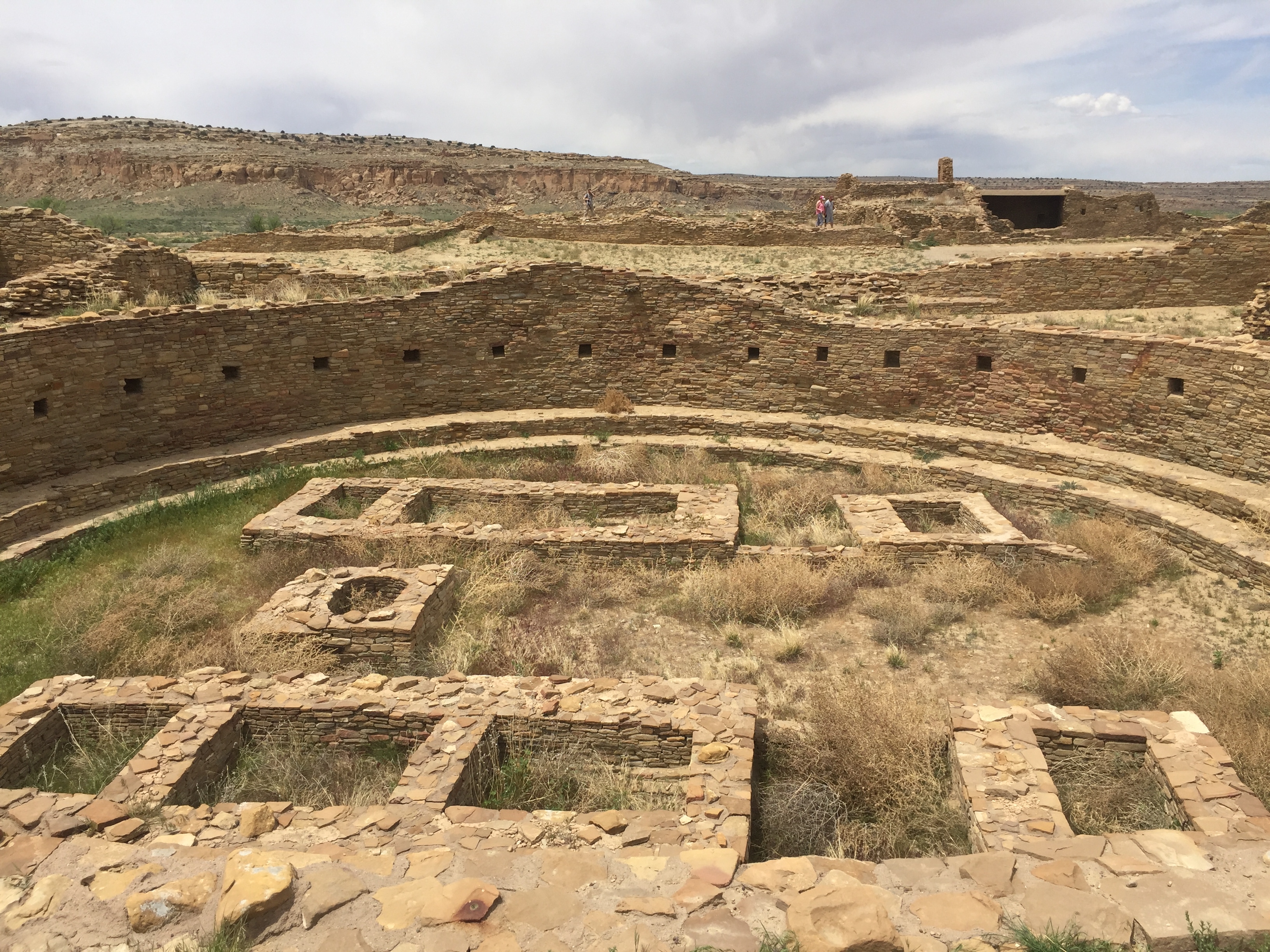
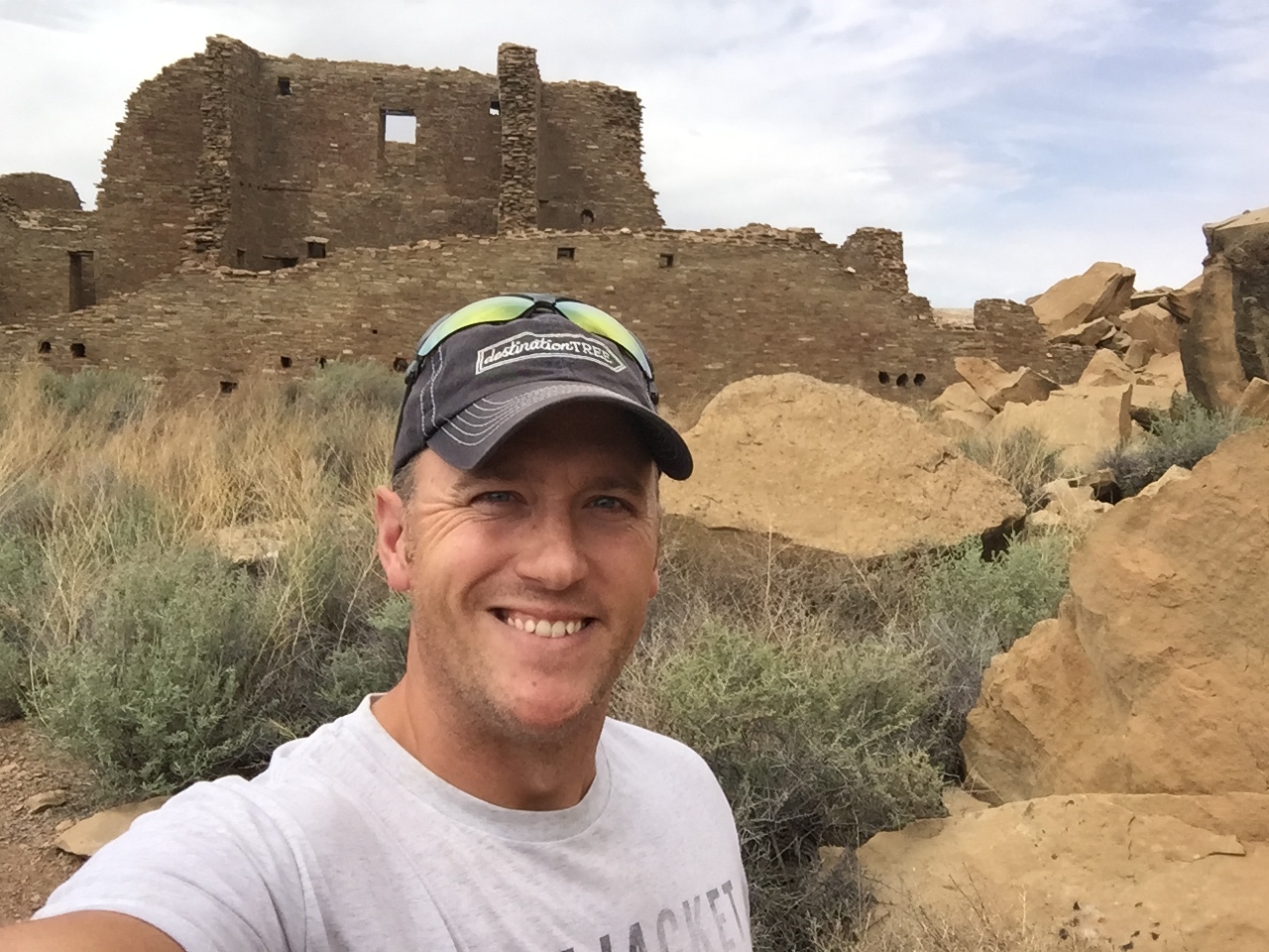
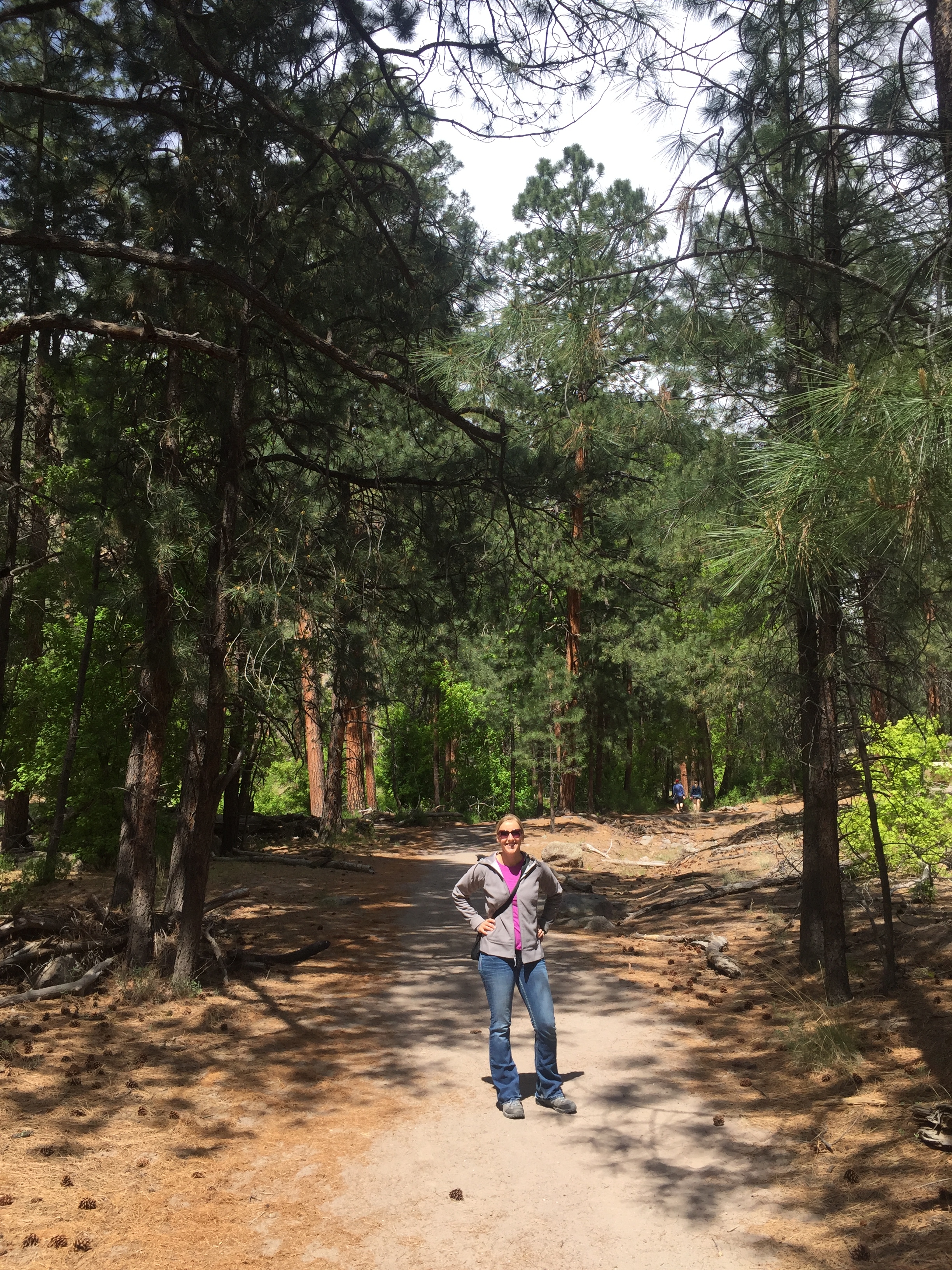
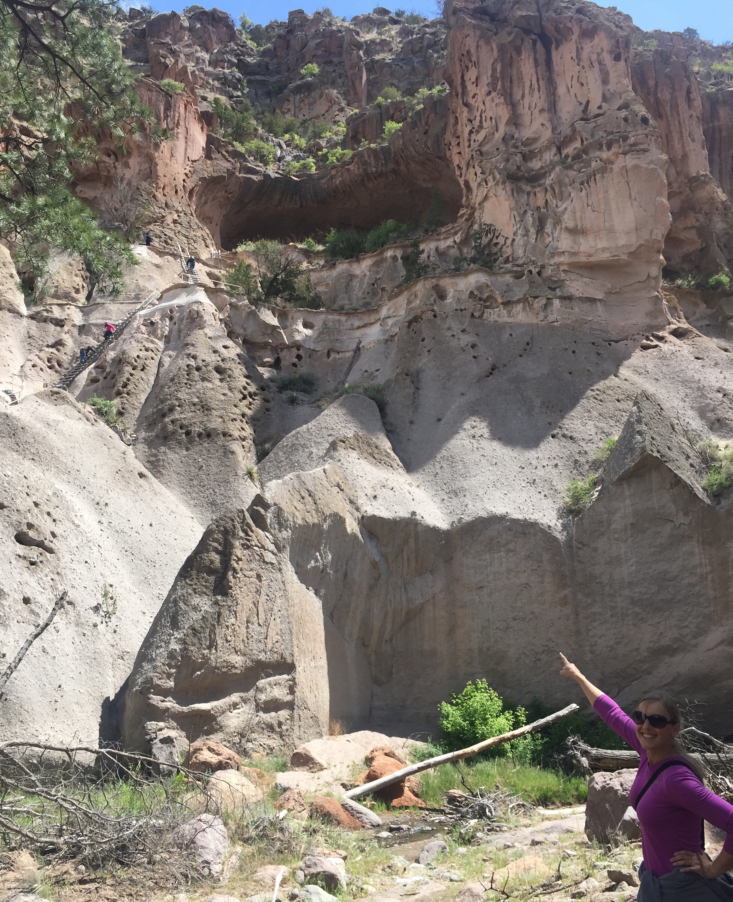
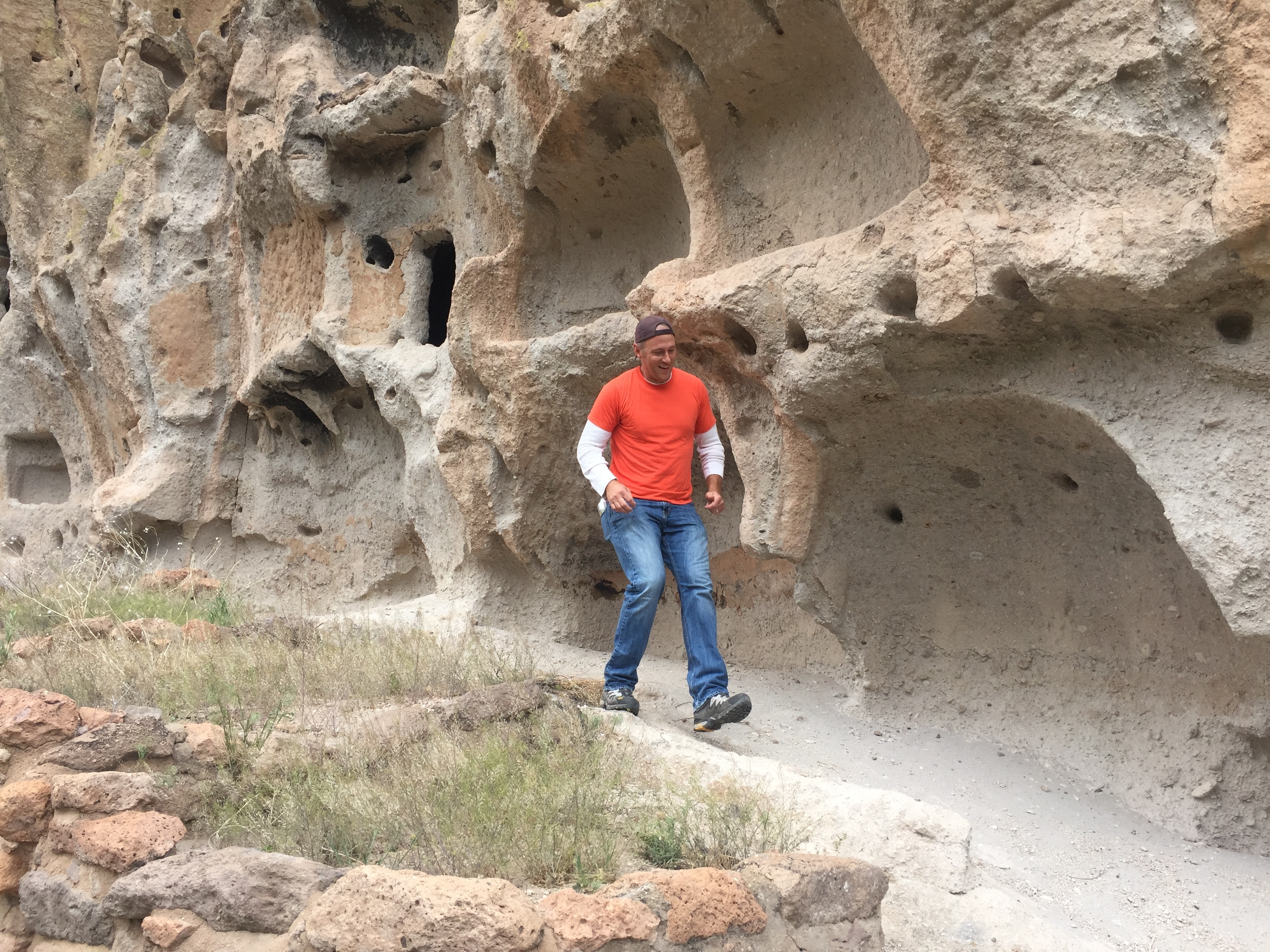
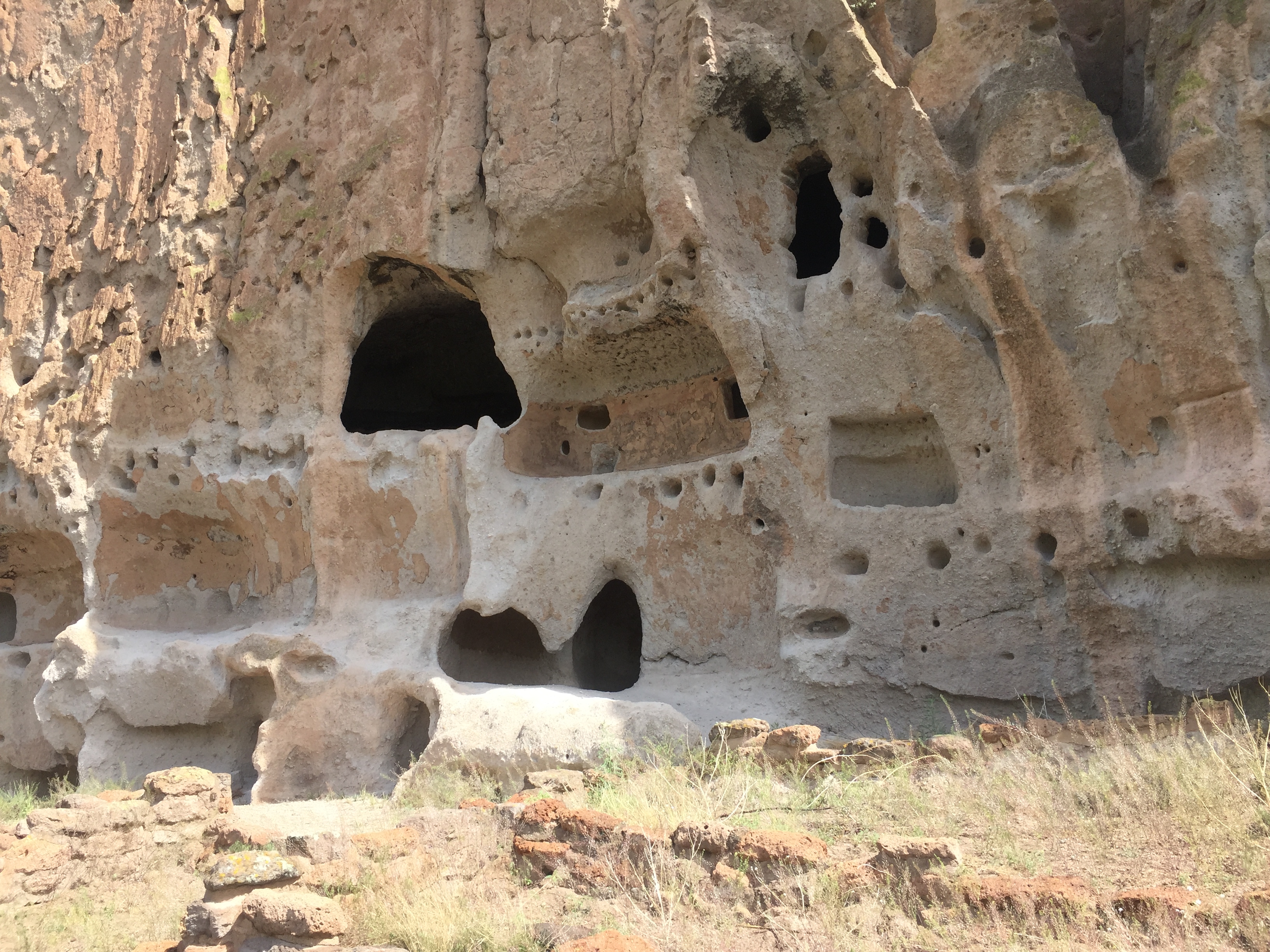
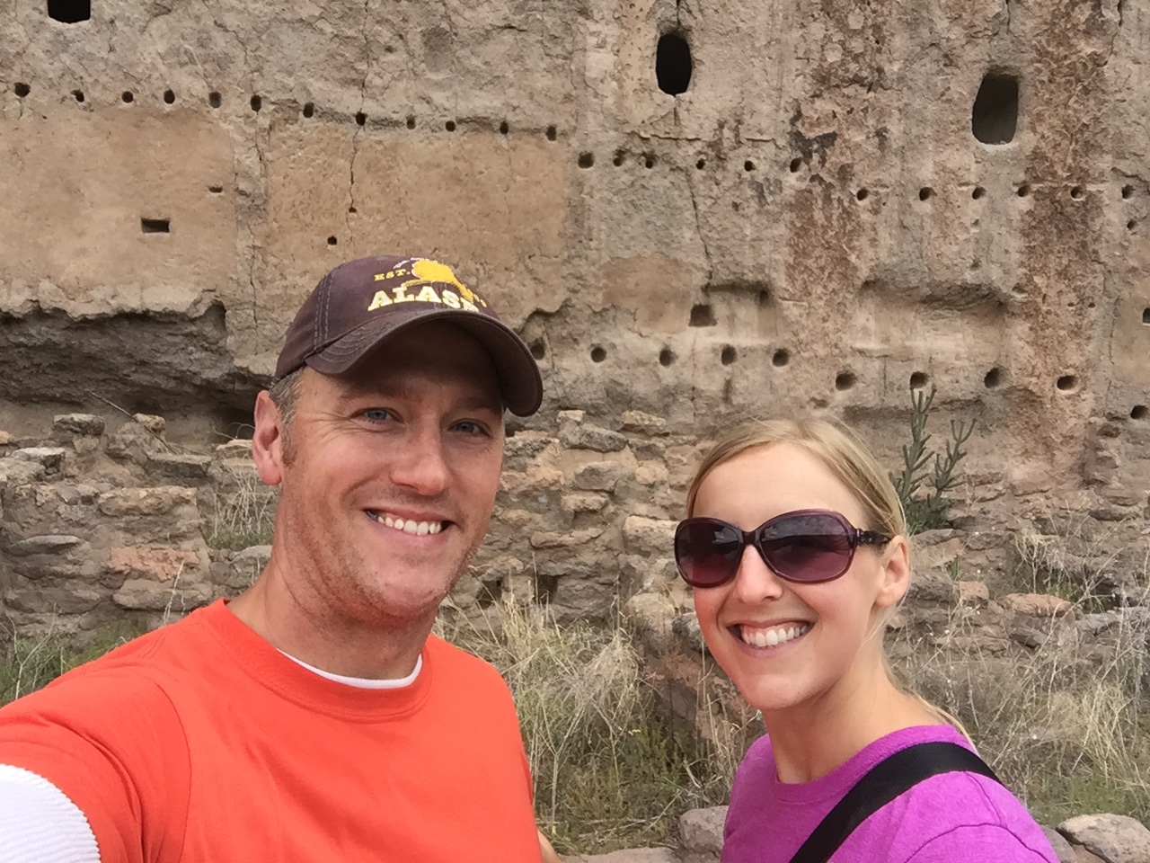
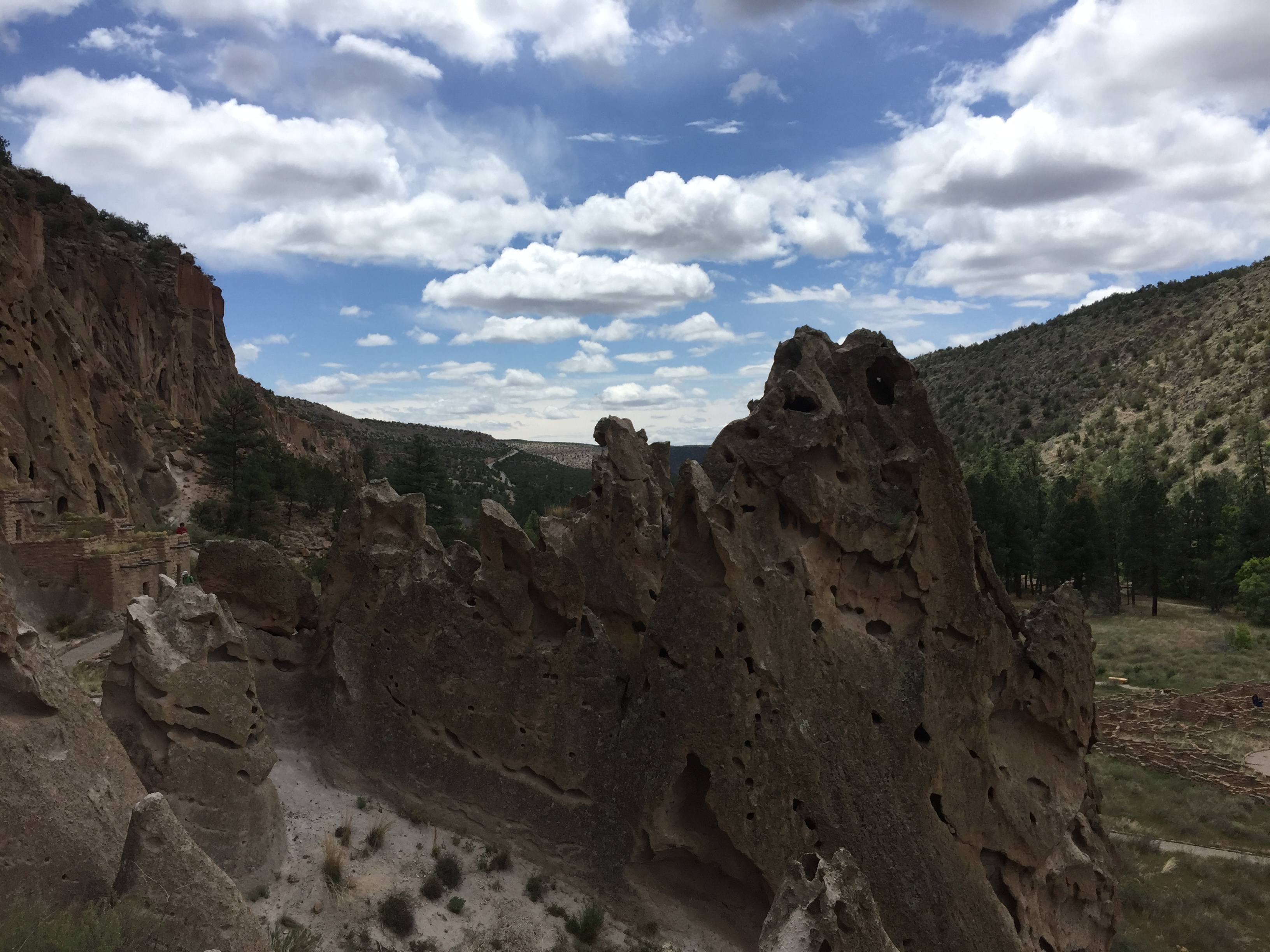
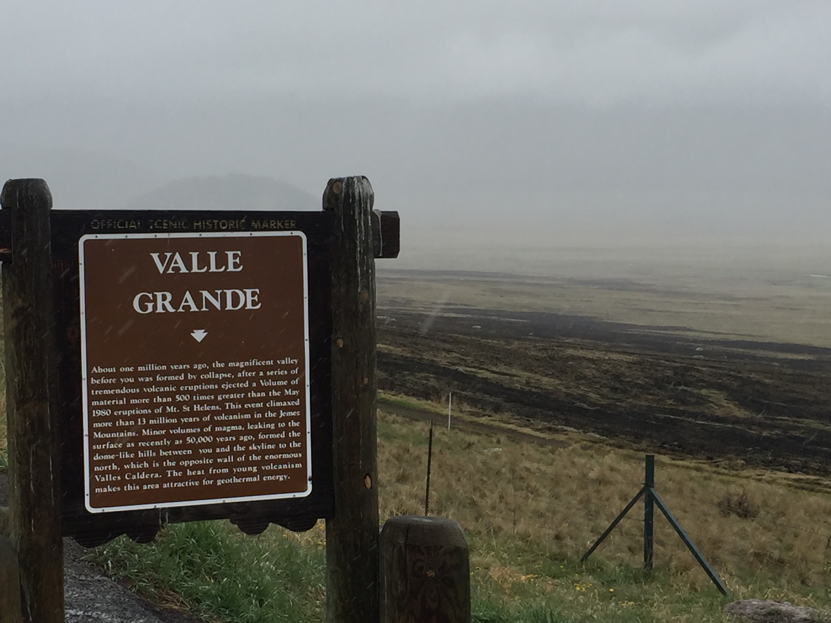
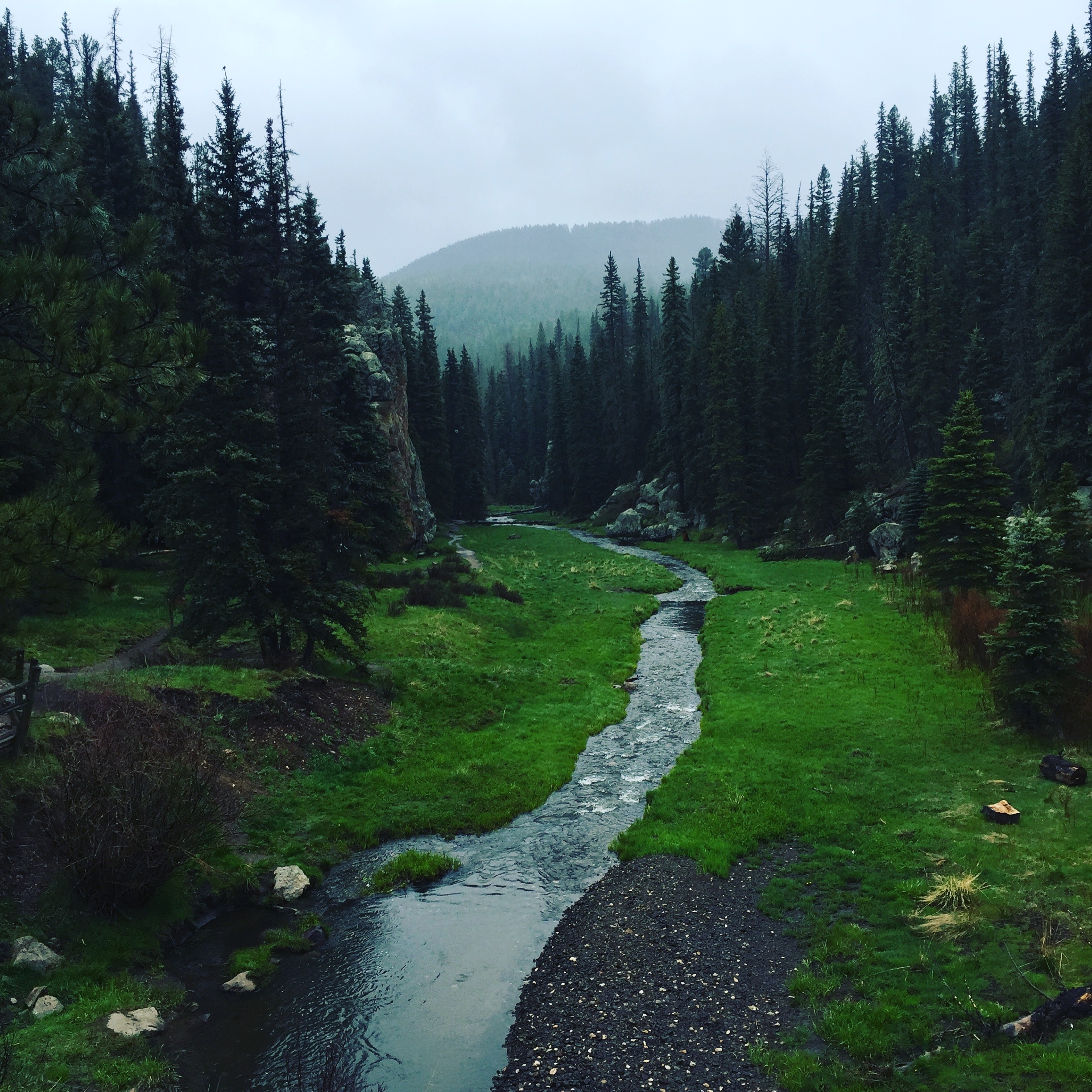
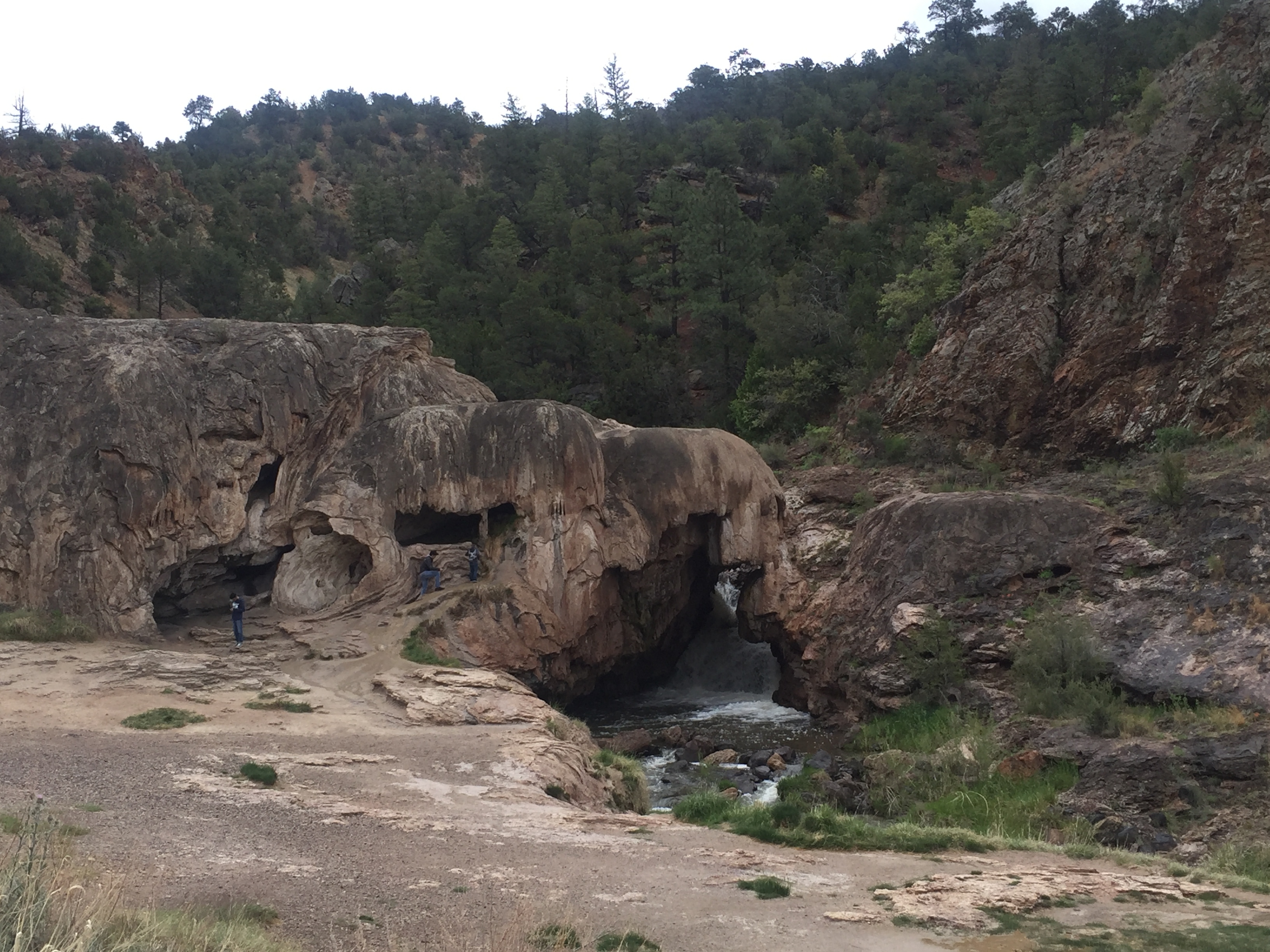
  • Part 11 opened our eyes to the history and beauty in the landscape of New Mexico including Carlsbad Caverns, White Sands National Monument, Chaco Canyon and Bandelier National Monument.

Next up…Colorado!

Part XII
June 1 – 10, 2016

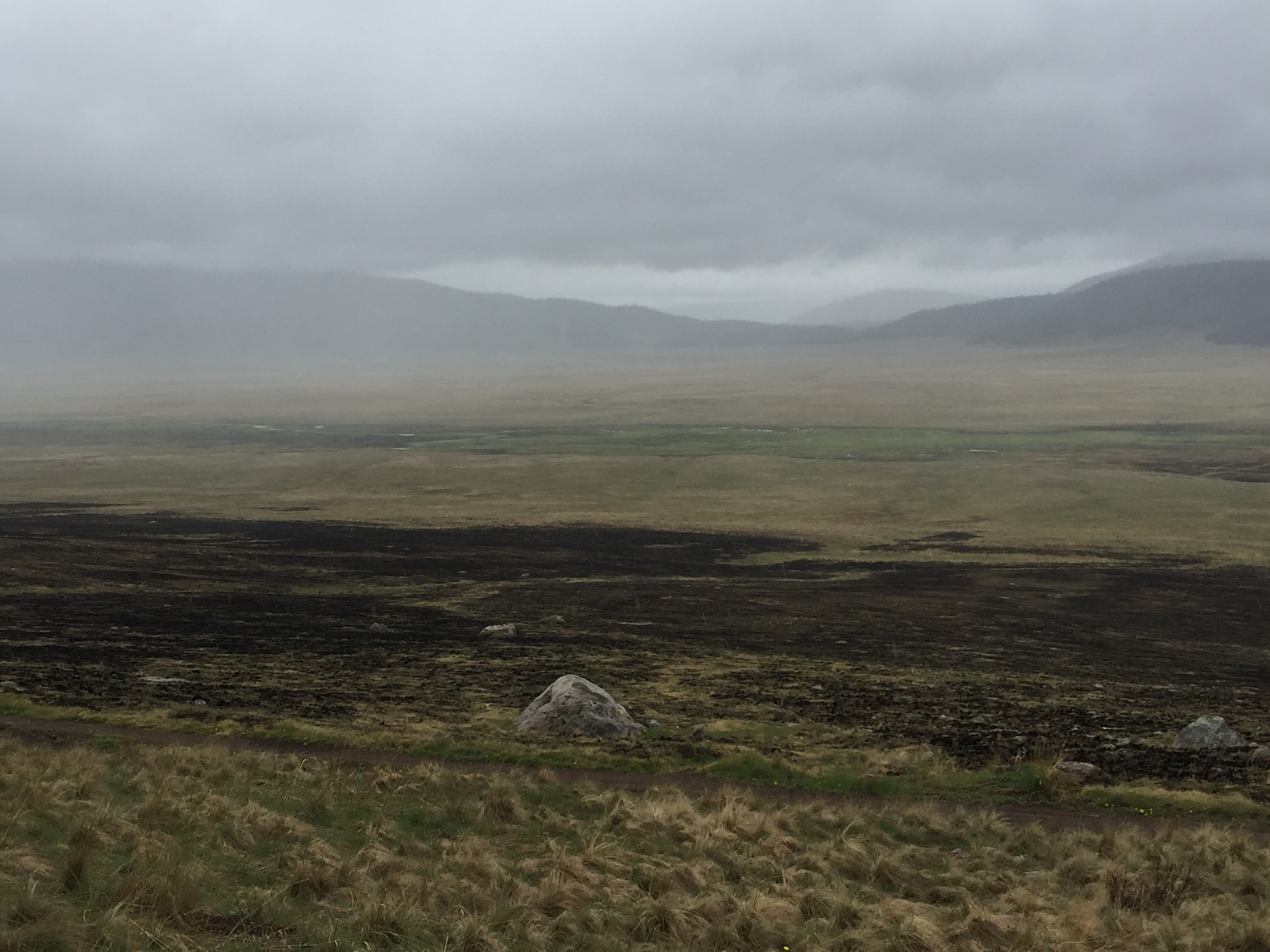
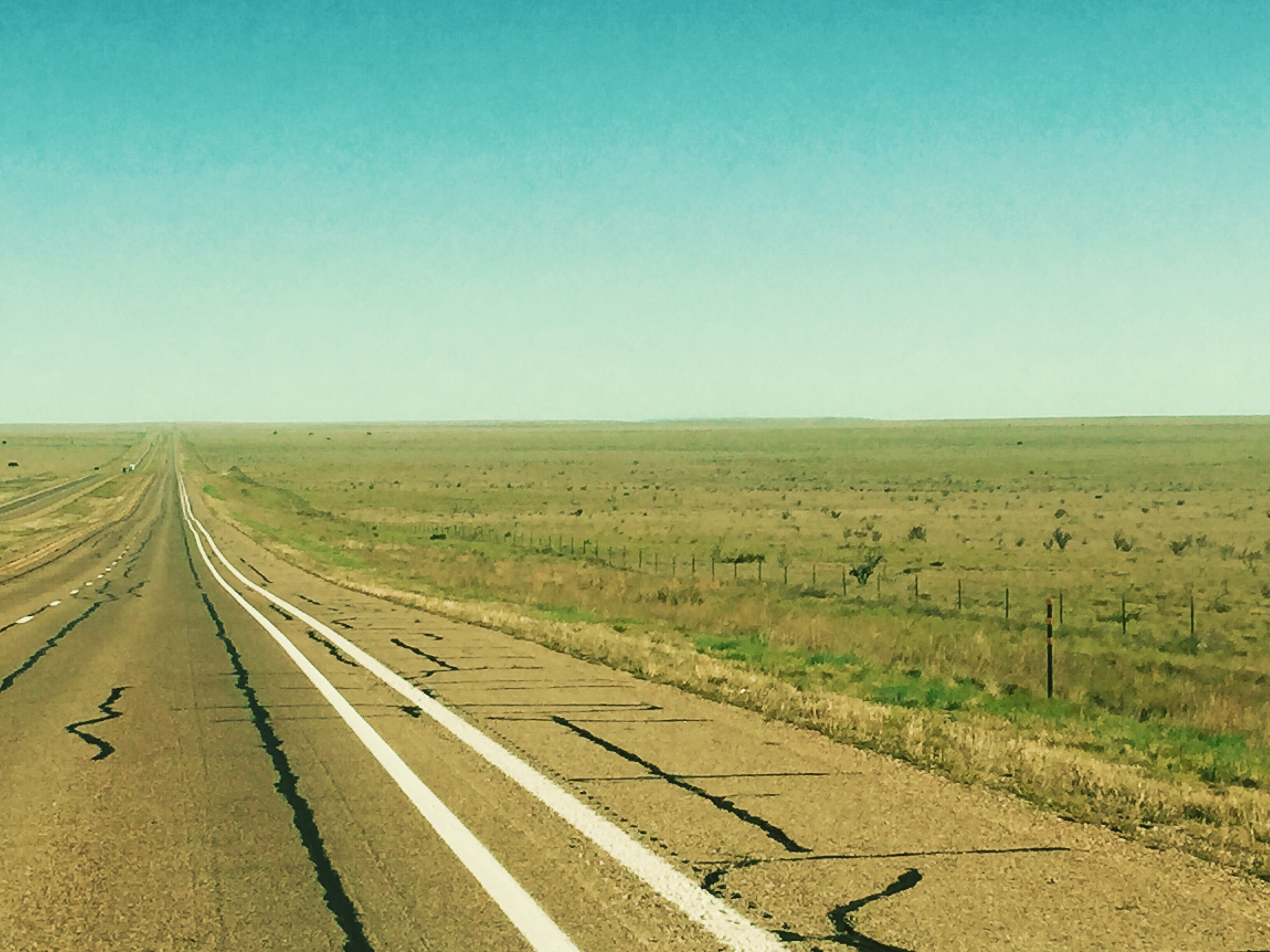
Our drive from Santa Fe to Colorado was somewhat unexpected. As we descended from the mountains to the flat landscape of northeast New Mexico, it reminded us of Scotland. There were heavy clouds close to the ground, sporadic greenery, long stretches of empty road and occasional livestock dotting the vast open fields around us.

We enjoyed the early morning drive and celebrated as we crossed the state line into Colorful Colorado! Colorful indeed. Purple mountains, green trees, blue skies, white puffy clouds and red rocks.

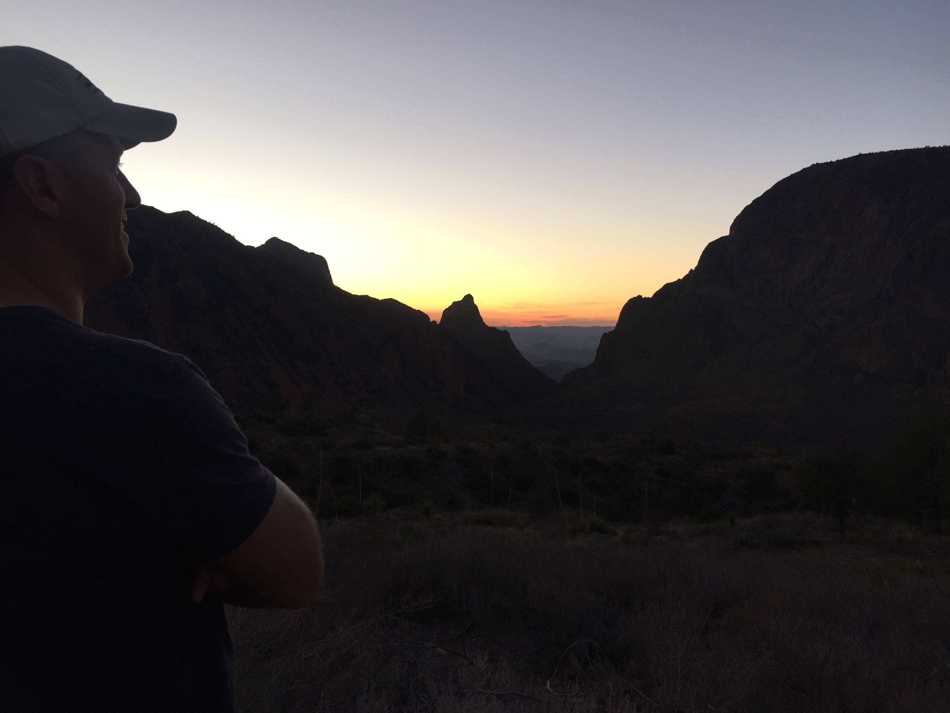
We traversed Colorado from south to north, following along the east side of the Rocky Mountains. Our first base was in Manitou Springs, just outside of Colorado Springs, where we visited Garden of the Gods, Pikes Peak and Royal Gorge. From there we went a little further north, near Castle Rock where we visited a very dear friend (Kelly!!!!!) and explored the nearby hiking trails and also caught up on a backlog of Destination Tree orders. From there, we continued north and based ourselves outside of Fort Collins at Horsetooth Reservoir, which was absolutely gorgeous. From here we also visited Rocky Mountain National Park and the small town of Estes Park, also the location of The Stanley Hotel. (Yes, THE Stanley Hotel, Stephen King’s inspiration for The Shining…you better believe Matt will have a blog post about THIS!)

There is really so much to see and do in Colorado, and we packed in as much as we could in a short period of time. We would have loved to spend more time here, but we decided to fit in what we could and continue north to Wyoming where we plan to spend time at Grand Tetons and Yellowstone National Parks before the height of summer crowds.

Our driving route through Colorado is below…click here for pictures and highlights of Colorful Colorado!

Tips: Zoom in and out on the map, and move the map around to get a better look at the route. Or click “View Larger Map” below to get an even better view.

Filed Under: All Blog Posts, Blogs by Kristin, On the Road, Our Route Tagged With: adventure, cross country, destination tree, national parks, road trip, travel, wanderlust

New Mexico. Not Really New – Not Really Mexico.

June 11, 2016 by Kristin

I saw this saying on a bumper sticker while in New Mexico and laughed out loud.

new mexico bumper sticker

Because it’s true, right?! But I never consciously gave that much though to the name “New Mexico” before. To be honest, I never actually gave much thought to New Mexico at all. I hardly knew anything about it. Fortunately, Matt did. He had a long bucket list of New Mexico destinations he was interested in. And fortunately, we’re on a year-long road trip discovering and exploring our beautiful country. Turns out, my ignorance has transformed into a true appreciation of the natural wonders of New Mexico. It’s not really New. It’s not really Mexico. But it is really awesome. And here’s why.

White Sands National Monument

Holy Moly. I did not know this place existed. Did you? Well, maybe you did if you watch the Today Show, because they were there a few days after we were! We were amazzzzed by the powdery white sand flanked by purple mountains and blue skies.

After running up a sand dune, I’m not exceptionally eloquent, but it WAS pretty awesome! #destinationtreeontheroad #newmexico #whitesandsnationalmonument #newmexicoskies #newmexicobeauty #whitesands #optoutside

A video posted by Destination Tree (@destinationtree) on May 5, 2016 at 5:40pm PDT

Although, per usual, we arrived early in the morning because the sun is BLAZING hot. I’m not wearing long sleeves and pants because it’s cold. I paired those with a hat, glasses AND sunscreen because I was sure my skin was going to turn crispy.

IMG_1243
Dogs love sand dunes. At least Lucy does. She had the best day of her life running up and down the dunes like a crazy dog. Dobie thought it was fun for two runs and then he wanted a nap.
IMG_1133
No words. Just amazement.
IMG_1104
We were here! And we are so grateful to have experienced such a beautiful and special place.

Carlsbad Caverns National Park

This place is amazing. And it may seem like it’s out in the middle of nowhere, but that’s probably because it is. But it is SO WORTH IT. I would never have guessed that underneath the Chihuahuan Desert existed over 119 caves (that we know of…who knows how many more could possibly exist).

IMG_1288
Carlsbad Caverns and Crazy Blue Skies.

We took a self-guided tour down the 1.25 mile Natural Entrance trail which descended more than 750 feet to an enormous cavern known as “The Big Room” where another 1 mile trail loops around an enormous cavern which Will Rogers described as “The Grand Canyon with a roof over it”. Yeah, that’s pretty accurate. 3.5 miles isn’t a very long hike, but the decline and incline in and out of the cave makes this a worthy workout trek.

IMG_1301
The natural entrance to Carlsbad Caverns…and there’s little ole’ me to help show the scale of this steep switchback path that goes down and down and down…

Each evening, hundreds of thousands of Brazilian free-tailed bats leave the caves to search for food (bugs!). However, they return to the caves before dawn, and since we were there early in the morning, we did see several bats still returning. We figured they were the teenagers who were out past curfew, sneaking in late and hoping no one noticed…

IMG_1309
And here we go…goodbye natural light, time to do some cave exploring!
IMG_1317
The caverns are absolutely massive, and while the trail is paved, your shins and toes feel the brunt of the downhill descent, and the whole way down, you’re conscious of the fact that you’re going to ascend all the way back up to get back out!
dolls theater
iPhones can take some pretty great pictures. They cannot take pictures worth a darn inside a cave though. So, to help show the gorgeous formations inside Carlsbad Caverns, this professional photo of Doll’s Theater, a feature inside The Big Room at Carlsbad CAverns (Credit: NPS Photo/Peter Jones) does a pretty darn good job.
IMG_1351
As if an incredible hike down and up out of Carlsbad Caverns wasn’t amazing enough, on our drive out of the park we drove past a family of desert Bighorn Sheep! They were so cute!

Santa Fe

Santa Fe is a beautiful city with a small town vibe. It’s full of pueblo style architecture, museums, art galleries, and has no shortage of restaurants featuring authentic New Mexican cuisine and their famed red and green chile, both FULL of flavor. Sounds pretty wonderful already, but an added appeal is the opportunity for exploration in the mountains and wilderness surrounding this city already perched at 7,000 feet.

IMG_2241
Santa Fe is full of beautiful churches and architecture, including the Saint Francis Cathedral, built in the late 1800s.
IMG_1398
A beautiful and unique element outside of the cathedral was this labyrinth (added in 2003). We learned that labyrinths were often built into the floors of medieval cathedrals and that this one is built in the style of one in Chartres, France.

We loved the symbolism of this stone path, “The Labyrinth’s path is like the path of life. There are twists and turns, feelings of being lost, encounters with others on your path, the thrill of accomplishment at the center, and sometimes a flash of insight before returning.” And honestly, it’s just fun to walk the narrow, winding path, feel the warmth of the sun on your back, and smell the wafting spring blossoms in the breeze.

IMG_1396
Take a deep breath and inhale the sweet smell of fresh blossoms.
IMG_2272
Strolling along Canyon Road there is no shortage of beautiful galleries and local artisans.

Our favorite stop along Canyon Road? Wiford Gallery. We were literally hypnotized by their gorgeous wind art.

Totally mesmerized by the enchanting wind art at @wifordgallery! #destinationtreeontheroad #santafe #santafenm #canyonroad

A video posted by Destination Tree (@destinationtree) on May 15, 2016 at 11:57am PDT

Chaco Culture National Historic Park

CHACO CANYON! This was a biggie on Matt’s bucket list, and I was fully unprepared for the beauty and ancient architecture preserved here. There weren’t just ancient ruins, there were MASSIVE ancient ruins. Ruins you could wander through for hours or days, getting lost in a labyrinth of doorways, rooms and buildings. A self-guided tour brochure gave some explanation, which seemed mostly speculation, on the way of life of the Pueblo culture. Imagination was better at filling in the possibilities of how they built these massive structures and lived in this barren land.

IMG_1710
Chaco!! We arrived!! It was quite a journey just to get here, and after a long, bumpy dirt road we had to hop out for an arrival pic 🙂
IMG_1582
Ruins so enormous, they don’t fit in the frame of the picture…need some scale? Look at those tiny people in the center/right of the ruins, and then imagine building these walls, circles and structures thousands of years ago…


IMG_1525
On one of the many hiking trails in and around the ruins.
IMG_1540
The exterior ruins of what was truly a labyrinth of rooms and doorways inside.

The (tiny) doors and rooms go on and on and on…

Take a little walk with us through Pueblo Bonito in Chaco Canyon! #destinationtreeontheroad #chacoculturenationalhistoricpark #chacoculture #chacocanyon #ancientruins #pueblo #pueblobonito #findyourpark

A video posted by Destination Tree (@destinationtree) on May 20, 2016 at 8:14am PDT

A 360 degree view helps do Chaco Canyon justice…

We were in awe over the ancient ruins at Chaco Canyon. The Pueblo culture and architecture preserved here is amazing. #destinationtreeontheroad #chaco #chacocanyon #chacoculture #chacoculturenationalhistoricpark #ancientruins #pueblo #findyourpark

A video posted by Destination Tree (@destinationtree) on May 19, 2016 at 4:41pm PDT

Bandelier National Monument

Less than an hour drive from Santa Fe is Bandelier National Monument. If you’re like me, when you hear “monument”, you may think of some kind of statue or single structure (i.e. The Statue of Liberty). However, as I’ve learned on this year long road trip, a national monument is similar to a national park, just a different designation, and isn’t just a single “monument” but can be any particular area that is protected, owned and managed by the federal government. (Bonus: Our national park pass is valid at all National Monuments, Historic Sites, etc….so if you think there are a lot of national parks to visit, just imagine how much bigger that list is when you add all the other protected areas that are part of the NPS!).

Ok, probably more than you may have wanted to know about parks vs monuments, but back to this monument in particular, Bandelier National Monument is actually OVER 33,000 acres of protected land.  This area is protected for a good number of reasons, one of which is the incredible natural beauty. We hiked through huge canyons, past towering flat topped mesas, and amidst towering trees. We are tree huggers at heart and after the desert landscape in southern New Mexico, we were thrilled to be among tall trees again in the mountains of Northern New Mexico.

IMG_1815
The hike to Alcove House was a gorgeous path through towering Ponderosa Pines!

While the natural beauty is reason enough to protect this beautiful area, the other primary reason is the 11,000+ year old history and architecture from the Pueblo people who left behind petroglyphs, cave dwellings and structures built from volcanic tuff blocks.

IMG_2060
That’s Alcove House waaaaay up there. See the all the ladders and little people on the left? That’s how you get up there!
IMG_2061
Start at the bottom and keep climbing! Multiple ladders and narrow pathways get you to the top of Alcove House at Bandelier National Monument.
IMG_1869
Matt peeked into a few cave dwellings that were technically off the trail…get back over here!!
IMG_1807
Cave dwellings and petroglyphs along the sides of the cliffs were fascinating.
IMG_1856
Bandelier Selfie! 😉
IMG_1878
Pueblo block structures and cave dwellings to the left, and more ruins off to the far right…and blue skies and puffy clouds all around.

Perhaps one of the most incredible things about our visit to Bandelier, was that we explored a tiny sliver of the 33,000 acres. This particular canyon was just one area with some short hikes, but there are over 70 miles of trails throughout the entire park with more canyons, rivers, mesas and petroglyphs to be explored.

Jemez National Recreation Area

After spending most of the day in Bandelier, we decided to take a scenic road trip through Jemez National Recreation Area to loop around and back to Santa Fe. It was shockingly varied in its scenery and beauty. Valle Grande, an enormous valley formed by a volcano over a million years ago, was a misty and ethereal landscape.

IMG_1919

IMG_1931
Those mountains in the distance aren’t mountains…they’re actually the other side of the rim of the volcano, and everything in between was the center of the volcano.

From there the landscape continued to drastically change. At the Las Conchas trailhead we felt like we had been transported to the Pacific Northwest! This was NOTHING like what we expected to see in New Mexico!

IMG_2009
High above the desert, in the mountains near Santa Fe, we were transported to the Pacific Northwest with these towering pines, magical fog and green edged river!

We continued through the mountains alongside rivers, past hot springs and stopped for a quick hike to explore this waterfall cutting through the rock formations.

IMG_1971
A powerful little river…cutting a hole right through the rocks.

Before visiting New Mexico, I would have thought it was all dry, desert terrain. Obviously, not true. However, the real surprise was the wide variety and contradiction of landscapes. We traversed flat land that stretched as far as the eye could see and crossed tall mountains covered in ponderosa pines. We wandered across white sands, ancient ruins, river carved canyons and beauty beyond measure. New Mexico. Not Really New. Not Really Mexico. But really special.

IMG_1456
We drove a lot of NM miles just like this…beautiful in it’s own right, and a lovely contradiction to the varied landscape across the state.

The beauty and natural wonders continue as we travel north through Colorado.

Cheers!

Kristin

Save

Save

Save

Save

Filed Under: All Blog Posts, Blogs by Kristin, On the Road Tagged With: adventure, cross country, destination tree, grateful, inspiration, national parks, road trip, travel, wanderlust

Don’t Mess With Texas

April 13, 2016 by Kristin

Yeah, don’t mess with Texas. Why? Cuz it’s a pretty cool place. The saying may be a decades old ad slogan (an anti-littering campaign as a matter of fact), but it’s still representative of the attitude and size and greatness of Texas. Why is Texas so great? Um, BBQ for one. But I’m going to go out on a limb here and say the number one, best thing about Texas is Big Bend National Park. Argue with me all you want, or politely disagree and proclaim your own reason, but Big Bend is still #1 for me. And before this epic year-long road trip, we’d never even BEEN to Texas. (Airports don’t count by the way.) So whether or not you’ve been to Texas, or you’re just itching to see what we may have explored while we were there, scroll on through and check out all the highlights from Big Bend and Beyond. (Trust me, it’s way better than Bed Bath and Beyond…)

Big Bend National Park

It’s definitely an underhyped place. Possibly because it’s waaaaay off the beaten path in southwest Texas.

IMG_8772
Not sure if you can tell, but I was kind of excited to get here.

At first glance, Big Bend can look like a whole lot of nothing. But there are a lot of hidden gems here. Our appreciation of desert terrain continued, and also a great respect for the heat of the day. We strategically planned a lot of our hiking and sightseeing in the early morning and late afternoon to avoid the scorching heat of midday. And while there are paved roads throughout the park, we really enjoyed taking the Old Maverick Road on our trek out to Santa Elena Canyon. We kicked it into four-wheel drive (and reminisced a bit about the Apache Trail), braved the washboard and soaked in the solitude of the desert.

IMG_8646
Old Maverick Road was an unpaved, scenic path that took us on a desert adventure on our way to Santa Elena Canyon.

Santa Elena Canyon

As Old Maverick Road connected back with the park loop road, we approached Santa Elena Canyon. Just to preface, the Rio Grande cuts through and not only gives “Big Bend” it’s name, but carves some impressively huge and beautiful canyons in the mountains, while also creating a natural border between Texas and Mexico. The late afternoon sun was just starting to fall back behind the canyon and took our breath away as we neared.

IMG_8711
Approaching Santa Elena Canyon in Big Bend National Park…a HUGE crack between the mountain opens up a canyon between the US and Mexico where the Rio Grande winds through.

This was the perfect time of day to hike the trail that winds up and alongside the canyon, then back down to the river bank. The canyon towered thousands of feet above us on both sides and as we sweated from the heat and the climb, it suddenly felt like we walked into another world when we crossed a thermocline. The temperature dropped and instead of hot and 82 it was cool and breezy.

IMG_8668
By late afternoon, most people were heading back as we were heading out on the trail along Santa Elena Canyon in Big Bend National Park.
IMG_8682
Just soaking in the view of the Rio Grande and Santa Elena Canyon walls.
santaelena
Need some perspective to grasp how high those cliff walls are? How about that teeny tiny kayak for two?

And a quick little video to give you a 360 degree view. Don’t get dizzy, we moved a little fast.

After an incredible hike, we took the paved Ross Maxwell Scenic loop road back…our reward for a late afternoon hike? A freaking amazing sunset. Seriously. As we looped in and around beautiful rock formations and mountains the setting sun and reflecting colors confirmed Big Bend is a very magical place.

The Chisos Mountains

If someone had told me there are bear and mountain lions in Texas, I would have severely doubted the accuracy of the statement, and probably googled it to prove them wrong. Well, when the National Park posts several signs and includes it in the informational brochures, it’s true. No googling required (which is good, because there isn’t cell service in the park anyway).

IMG_8785
No foolin’. It’s always important to be respectful and aware of wildlife, but even more so when they’re bigger than you and you’re on their turf.

So, we kept an eager eye out for potential wildlife at all times when driving through the park, and especially as we drove the road through the Chisos Mountains toward the Chisos Basin. The best way to describe the drive through the Chisos? A video.

The drive is spectacular and continues to climb in elevation and snake around some hairpin turns before heading down into the Chisos Basin, literally a large circular area surrounded by mountains. Turns out it was a volcano millions of years ago, and the basin is the center of the volcano. A gap between the mountains on one edge creates a “window” to view the horizon and far off mountains in the distance. And one helluva “window” to watch the sunset.

The silhouettes of the Chisos surrounded us, and the “window” framed the colors of the sunset and the endless shades of blue of the far off mountains in the distance. Our pictures and videos failed to capture even a fraction of the color spectrum. Really. So, just take my word for it and go see this in person.

IMG_8807
I hate saying it, but it was so much prettier in person! We just can’t capture the true colors of a sunset…we’re going to keep trying though.

After another exceptional Big Bend sunset, we decided to drive out of the mountains before it got too dark. And just when we least expected it WE SAW A BEAR!!!

We saw a BEAR!!!! This is a huge deal for us because 1) it’s really cool to see a bear and 2) this means Matt’s bear curse has officially been lifted! Bear curse? Yes. From the Smoky Mountains to Montana to the Alaskan wilderness, we’ve come so close, but bears continued to elude us. But here in Southern Texas, in Big Bend, a little fuzzy guy crossed the road and we got a blurry video. Yippee!! And maybe it’s a blessing we were in a truck instead of on a trail. #destinationtreeontheroad #bigbendnationalpark #findyourpark #texas #chisosmountains #wesawabear #heylittlebuddy #whydidthebearcrosstheroad

A video posted by Destination Tree (@destinationtree) on Feb 12, 2016 at 6:25pm PST

Boquillas Canyon

Our second canyon adventure was on the other side of the park at Boquillas Canyon. Not as tall as Santa Elena Canyon, but wider and just as beautiful. Just as before, we hiked up to a beautiful view of the Rio Grande, before we hiked down alongside the river at the base of the canyon.

IMG_8858
Capturing a shot of Matt capturing a shot of the Rio Grande from a high point on the short hike to Boquillas Canyon.
IMG_8921
Because when you stop and look around, this planet is pretty amazing.
boquillas
We enjoyed a shady morning hike alongside the Rio Grande in the Boquillas Canyon.

And just for good measure, a video to help share the majesty of this special place. Yes, those are donkeys across the Rio Grande in Mexico!

Nature’s Hot Tub

Another memorable adventure in Big Bend National Park were the hot springs. Not knowing how crowded they might get, we got up SUPER early and took a SUPER narrow and bumpy dirt trail back to the trail head for the springs.

IMG_8846
Oh, hey there! Fortunately, the narrowest parts were one-way only, which is good because there wasn’t anywhere to pull over…

We walked a short and easy trail past some old historic buildings and some tall cliffs alongside the Rio Grande to the Hot Springs.

hotsprings
On our way to the Hot Springs in Big Bend National Park…

And then we arrived! It was nature’s hot tub! Steaming and hot, right next to the cold, gurgling Rio Grande! Crazy. We unzipped our pant legs, took off our hiking boots and socks and sat on the edge up to our knees in the 104 degree water. We really wanted to sit and soak all morning, but the thought of wearing wet swimsuits on our next hike changed our minds. In the chilly morning air, with the sun rising over the horizon, the hot water felt great.

IMG_8836
Nature’s hot tub is also nature’s infinity pool…at the right angle the edges melted and merged with the Rio Grande as the sun’s reflections peeked over the horizon.

Now, I hope you can see why Big Bend ranks as the number one best thing about Texas. Canyons, cliffs, sunsets, mountains, bears, hot springs, petroglyphs and more won us over. And if you’re still not convinced, maybe this exceptional Big Bend sunrise will help close the deal.

IMG_8892
We woke up before dawn on our departure day and as we drove through the park the most spectacular sunrise bid us farewell and reminded us to come back again soon. Good-bye, Big Bend!

So, that’s Big Bend. But I promised you Big Bend and Beyond. Well, Texas is soooo big I had to break that into Part 2…

Cheers! And don’t mess with Texas, y’all!

Kristin

Filed Under: All Blog Posts, Blogs by Kristin, On the Road Tagged With: adventure, cross country, destination tree, inspiration, national parks, road trip, travel, wanderlust

  • « Previous Page
  • 1
  • 2

About Us

At Destination Tree we create handcrafted driftwood signs, collages and centerpieces. Each piece of artwork is completely unique and inspired by your story.

Our Mission

To create handcrafted, meaningful artwork that helps tell the story of your journey, one destination at a time.

Helpful Links

  • Shop
  • Contact Us
  • Testimonials
  • Blog
  • Shop Policies

Connect With Us

  • Facebook
  • Instagram
  • Pinterest
  • YouTube

PO Box 156, Petoskey, MI 49770
info@destinationtree.com

Copyright © 2025 · Amore Theme on Genesis Framework · WordPress · Log in

**Order by Sunday, May 4th for Guaranteed Mother's Day Delivery!** Dismiss